Nations Online
All Countries in the World
|
One Planet Nations Online All Countries in the World | |
Home  |
___ Satellite View of Myanmar (Burma) |
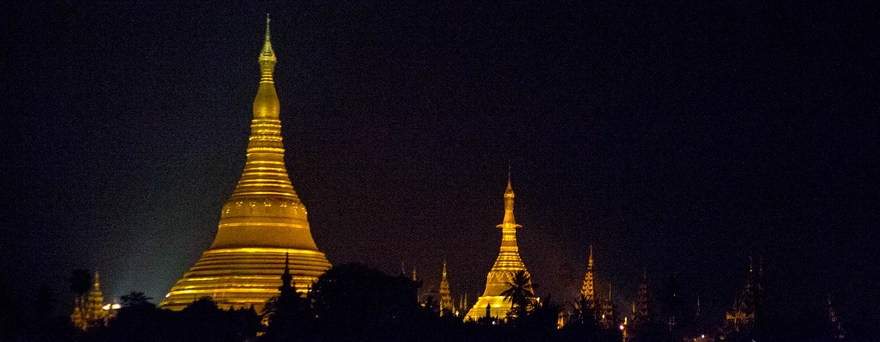
 Shwedagon pagoda, Yangon at night. Image: kk nationsonline.org |
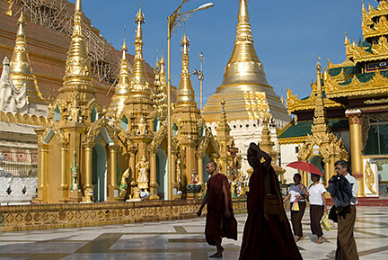
About Myanmar Shwedagon Pagoda, Yangoon. Image: nationsonline.org  Satellite view is showing Myanmar, the Southeast Asian country bordering the Andaman Sea and the Bay of Bengal. Satellite view is showing Myanmar, the Southeast Asian country bordering the Andaman Sea and the Bay of Bengal.Countries with international borders to Myanmar are Bangladesh, China, India, Laos, and Thailand. The new administrative capital of Myanmar (since March 2006) is a planned city named Naypyidaw in Naypyitaw Union Territory, situated halfway between the country's largest cities, about 370 km north of the former capital Yangon, and 280 km south of Mandalay, known as the northern capital. Yangon (Rangoon) the former national capital is the country's largest city and its economic hub. Myanmar has a population of 51.4 million people (2014 census). Spoken languages are Burmese and several regional languages like Kachin, Kayah, Karen, Chin, Mon, Rakhine, and Shan. The map shows Myanmar with cities and towns, main roads and streets. To find a location use the form below. |
|
| To find a location type: street or place, city, optional: state, country. |
Local Time Myanmar:
Monday-April-22 14:49
Time zone: Myanmar Time (MMT) UTC/GMT +6:30 hours |
|
φ Latitude, λ Longitude (of Map center; move the map to see coordinates): , |
||||||
| Google Earth: Searchable Satellite View of Union of Myanmar. Coordinates: 22° N, 96° E |
Bookmark/share this page
|
|||||
| More about Myanmar: Images: Landmark: Cities: Yangon (capital city), Mandalay, Naypyidaw Satellite View of the new national capital. Country: Myanmar key statistical data. Continent: |
Yangon Weather Conditions: |
Related Consumer Information:
|
||||
Searchable Maps of other Countries in South East Asia: Brunei, Cambodia, Indonesia, Laos, Malaysia, Myanmar (Burma), Philippines, Singapore, Thailand, Vietnam Major Cities in Southeast Asia Bandar Seri Begawan, Bandung, Bangkok, Chiang Mai, Hanoi, Ho Chi Minh City (Saigon), Jakarta, Johor Bahru, Kuala Lumpur, Mandalay, Manila, Medan, Naypyidaw, Phnom Penh, Singapore, Surabaya, Vientiane, Yangon |
||
Map Help [ show ]  |
||
One World - Nations Online .:. let's care for this planet Promote that every nation assumes responsibility for our world. Nations Online Project is made to improve cross-cultural understanding and global awareness. More signal - less NOISE |
| Site Map
| Information Sources | Disclaimer | Copyright © 1998-2023 :: nationsonline.org |