Nations Online
All Countries in the World
Nations Online All Countries in the World | |
Home  |
___ Satellite View and Map of the town of The Valley, Anguilla |
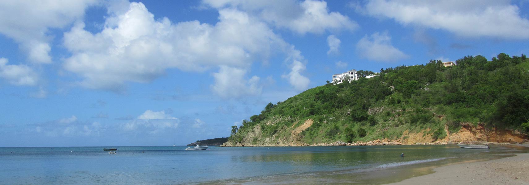 Crocus Bay Beach, Anguilla Image: David Jones |
About The ValleySatellite view is showing The Valley, the territorial capital and main town on the tropical islandThe town is located in the middle of the island, near Crocus Hill, the island's highest point. The Valley has a population of about 1000 people. Official language is English. Points of interests are distributed over the whole island: Sandy Ground (at night the entertainment capital of Anguilla). The Old Valley with Ebenezer’s Methodist Church, Miss Marjorie’s House, The Warden’s Place, and Rose Cottage, Crocus Hill, the highest point on Anguilla at 65 m (213 ft) offers sunset views, Shoal Bay (best beach), Island Harbour (fishing town romantic) and an Amerindian Ceremonial Site. The map shows a city map of The Valley with main roads and streets, zoom out to find the location of Clayton J. Lloyd International Airport (until 4 July 2010 known as Wallblake Airport, IATA code: AXA). To find a location use the form below. To view just the map, click on the "Map" button. |
|
| To find a location type: street or place, city, optional: state, country. | Local Time Anguilla:
Friday-July-3 16:40
Time zone: Atlantic Standard Time (AST): UTC/GMT -4 hours
|
One World - Nations Online .:. let's care for this planet Promote that every nation assumes responsibility for our world. Nations Online Project is made to improve cross-cultural understanding and global awareness. More signal - less NOISE |
| Site Map
| Information Sources | Disclaimer | Copyright © 1998-2024:: nationsonline.org |

