Nations Online
All Countries in the World
|
One Planet Nations Online All Countries in the World | |
Home  |
___ Satellite View and Map of the City of St. John's, Antigua and Barbuda |
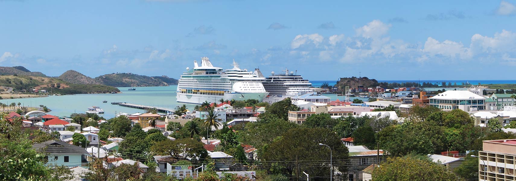
 Downtown St. John's, capital of Antigua and Barbuda, on the island of Antigua (view from Mount St. John's Medical Center). Image: Matt H. Wade |
About St. John'sSatellite view is showing St. John's, largest city and the territorial capital ofSt. John's is the commercial center and the chief port of the island of Antigua with a population of about 22,200 (2011 census). Official language is English, local language is Antiguan Creole. Some Points of interest: Museum of Antigua and Barbuda, St. John's Cathedral, Fort James (British 18th century fort), Government House (residence of the Governor-General of Antigua and Barbuda), Botanical Gardens, Signal Hill (best spot), Cape Spear Lighthouse (best sunrise) George Street (nightlife). The map shows a city map of St. John's with expressways, main roads and streets, Antigua and Barbuda's V.C. Bird International Airport (IATA code: ANU) is located 8 km (5 mi) northeast of the city. To find a location use the form below. To view just the map, click on the "Map" button. |
|
| To find a location type: street or place, city, optional: state, country. |
Local Time Antigua and Barbuda:
Wednsday-April-24 20:41
UTC/GMT -4 hours |
One World - Nations Online .:. let's care for this planet Promote that every nation assumes responsibility for our world. Nations Online Project is made to improve cross-cultural understanding and global awareness. More signal - less NOISE |
| Site Map
| Information Sources | Disclaimer | Copyright © 1998-2023 :: nationsonline.org |