Nations Online
All Countries in the World
Nations Online All Countries in the World | |
Home  |
___ Satellite View and Map of Vientiane (ວຽງຈັນ - Viang Chan) |
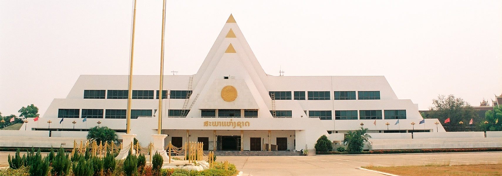 Lao National Assembly building in Vientiane, it houses the unicameral parliament of Laos. Image: nationsonline.org |
About Vientiane Satellite view is showing Vientiane, largest city and the national capital of Satellite view is showing Vientiane, largest city and the national capital of Lao's relative small capital is situated in the northern part of the nation, at the Lao-Thai border, on the northern banks of the Mekong River, about 90 km (55 mi) north of the Thai city of Udon Thani. 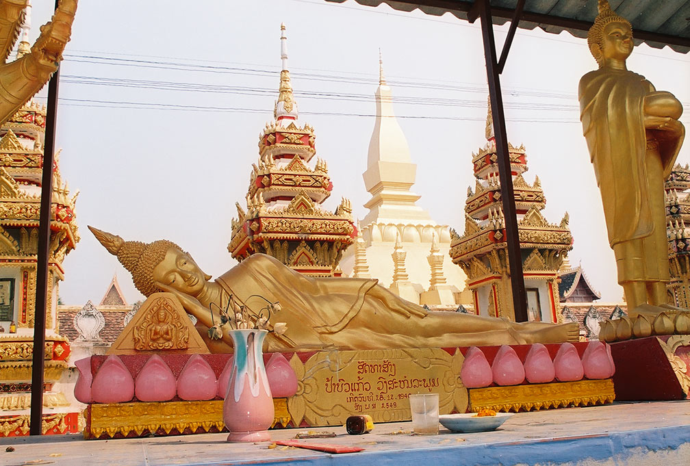 Reclining Buddha in Vientiane, in the background Pha That Luang, the national symbol and the Poeple Republic of Lao's most important national monument. Image © Nations Online Project The city once was a Khmer settlement and part of the
vast Khmer Empire, which centred on Angkor. The city became the capital of the Lao kingdom of Lan Xang in the 1560s when King Sai Setthathirath decided to move from Xiang Thong (today Luang Prabang) to Viang Chan, to avoid Burmese invaders. |
|
| To find a location type: street or place, city, optional: state, country. |
Local Time Vientiane:
Saturday-April-27 11:06
UTC/GMT +7 hours |
|
φ Latitude, λ Longitude (of Map center; move the map to see coordinates): , |
||||||
| Google Earth: Searchable map and satellite view of the City of Vientiane, Lao People's Democratic Republic. City Coordinates: 17°58′N 102°36′E |
Bookmark/share this page |
|||||
| More about Laos: Landmarks: Laos' national monument. A Khmer Hindu temple complex. Country: Lao PDR Key Statistical Data. Continent: External Links: Vientiane Times Local news. Wikipedia: Vientiane |
Weather Conditions Vientiane:
|
Related Consumer Information:
|
||||
Other Major Cities in South East Asia: Bandar Seri Begawan, Bandung, Bangkok, Hanoi, Ho Chi Minh City (Saigon), Jakarta, Johor Bahru, Kuala Lumpur, Manila, Medan, Phnom Penh, Singapore, Surabaya, Yangon Searchable Maps of other Countries in South East Asia: Brunei, Cambodia, Indonesia, Laos, Malaysia, Myanmar (Burma), Philippines, Singapore, Thailand |
||
Map Help [ show ] |
||
One World - Nations Online .:. let's care for this planet Promote that every nation assumes responsibility for our world. Nations Online Project is made to improve cross-cultural understanding and global awareness. More signal - less NOISE |
| Site Map
| Information Sources | Disclaimer | Copyright © 1998-2023 :: nationsonline.org |

