Nations Online
All Countries in the World
Nations Online All Countries in the World | |
Home  |
___ Satellite View and Map of Ho Chi Minh City (Vietnamese: Thành phố Hồ Chí Minh), Vietnam |
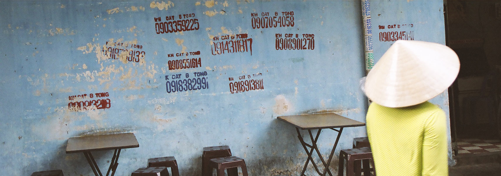 Street scene in Saigon, painted on the wall are phone numbers for various services. Image: nationsonline.org |
About Ho Chi Minh City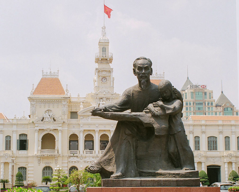 Statue of Ho Chi Minh in front of Ho Chi Minh City Hall, Saigon Image © Nations Online Project On 30 April 1975, Saigon was captured and the Vietnam War ended with the victory of the North Vietnamese. The city was renamed from Saigon to Ho Chi Minh City in 1976 after Hồ Chí Minh, the Vietnamese communist statesman and president of North Vietnam (2 Sept. 1945 – 2 Sept. 1969). The city lies along the Saigon River (Song Sai Gon) to the north of the Mekong River delta, about 80 km (50 mi) from the South China Sea. Ho Chi Minh City has a population of about 7 million inhabitants. In its metropolitan area live more than 9 million people. Spoken language is Vietnamese. Capital city of Vietnam is Hanoi. The Map shows a city map of Ho Chi Minh with expressways and main roads, Tan Son Nhat International Airport (IATA Code: SGN) is located 7.4 km (4.6 mi) by road (via Truong Chinh road) north of the city center (District 1). To find a location use the form below. |
|
| To find a location type: street or place, city, optional: state, country. |
Local Time Ho Chi Minh City:
Friday-April-26 21:18
UTC/GMT +7 hours |
|
φ Latitude, λ Longitude (of Map center; move the map to see coordinates): , |
||||||
| Sorry! Google's pricing policy has made it impossible for us to continue showing Google Maps. We apologize for any inconvenience. Google Map: Searchable map and satellite view of Ho Chi Minh City (Saigon), Viet Nam. City Coordinates: 10°46′10″N 106°40′55″E |
Bookmark/share this page |
|||||
| More about Vietnam: Cities: Country: Viet Nam key statistical data. Continent: |
Weather Conditions Ho Chi Minh City:
External Links: Ho Chi Minh City HCM City's official website. Thanh Nien News Local news. Wikipedia: Ho Chi Minh City Wikipedia article about Ho Chi Minh City. |
Related Consumer Information:
|
||||
Other Major Cities in South East Asia: Bandar Seri Begawan, Bandung, Bangkok, Hanoi, Jakarta, Johor Bahru, Kuala Lumpur, Manila, Medan, Phnom Penh, Singapore, Surabaya, Vientiane, Yangon Searchable Maps of other Countries in South East Asia: Brunei, Cambodia, Indonesia, Laos, Malaysia, Myanmar (Burma), Philippines, Singapore, Thailand |
||
Map Help [ show ] |
||
One World - Nations Online .:. let's care for this planet Promote that every nation assumes responsibility for our world. Nations Online Project is made to improve cross-cultural understanding and global awareness. More signal - less NOISE |
| Site Map
| Information Sources | Disclaimer | Copyright © 1998-2023 :: nationsonline.org |

