Nations Online
All Countries in the World
Nations Online All Countries in the World | |
Home  |
___ Satellite View and Map of the City of Hanoi (Hà Nội), Viet Nam |
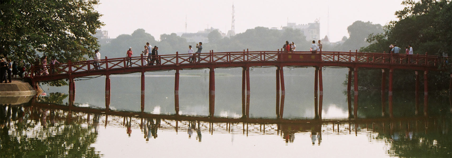 Morning Sunlight Bridge (Huc) at Hoan Kiem Lake (the Lake of the Returned Sword) in the historical center of Hanoi. Image: nationsonline.org |
About Hanoi Satellite view is showing Hanoi, the national capital of Satellite view is showing Hanoi, the national capital of 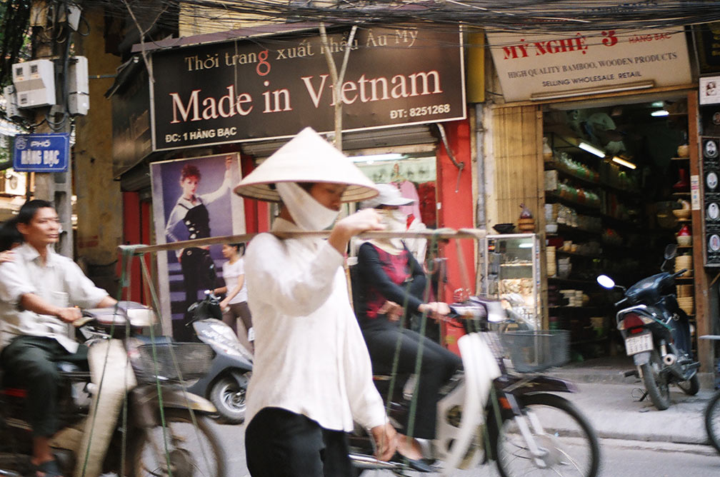 Hanoi street scene. Image: © Nations Online Project Today the city has a population of about 3.3 million inhabitants, 6.5 million people live in the metropolitan area, largest city in Vietnam is Ho Chi Minh City (formerly Saigon). Hanoi is famous for its numerous ancient Buddhist pagodas, the "Old, or French Quarter", its ubiquitous street vendors, and a plethora of motorbikes which are used to transport really everything. In October 2010 the city has celebrated its 1000th birthday anniversary (1010-2010). Spoken language is Vietnamese (Tiếng Việt), French is understood to some extent, and English is hardly spoken. Just zoom in (+) to see Ho Hoan Kiem (literally translated: Lake of the Returned Sword) with Tortoise Tower in south and the small Jade Island on which is the Ngoc Son Temple (Jade Mountain Temple); adjacent north lies the Old Quarter of Hanoi. The map shows a city map of Hanoi with expressways, main roads and streets, zoom out to find the location of Noi Bai International Airport To find a location use the form below. Map Help |
|
| To find a location type: street or place, city, optional: state, country. |
Local Time Hanoi:
Thursday-April-25 08:24
UTC/GMT +7 hours |
|
φ Latitude, λ Longitude (of Map center; move the map to see coordinates): , |
||||||
| Google Earth: Searchable map and satellite view of Hanoi, Vietnam. City Coordinates: 21°2′0″N 105°51′00″E |
Bookmark/share this page |
|||||
| More about Vietnam: Cities: Country: Vietnam key statistical data. Continent: External Links Hanoi (official web site) Thanh Nien News Local news. Wikipedia: Hanoi |
Weather Conditions Hanoi:
|
Related Consumer Information:
|
||||
Other Major Cities in South East Asia: Bandar Seri Begawan, Bandung, Bangkok, Ho Chi Minh City (Saigon), Jakarta, Johor Bahru, Kuala Lumpur, Manila, Medan, Phnom Penh, Surabaya, Singapore, Vientiane, Yangon Searchable Maps of other Countries in South East Asia: Brunei, Cambodia, Indonesia, Laos, Malaysia, Myanmar (Burma), Philippines, Singapore, Thailand |
||
Map Help [ show ] |
||
One World - Nations Online .:. let's care for this planet Promote that every nation assumes responsibility for our world. Nations Online Project is made to improve cross-cultural understanding and global awareness. More signal - less NOISE |
| Site Map
| Information Sources | Disclaimer | Copyright © 1998-2023 :: nationsonline.org |

