Nations Online
All Countries in the World
Nations Online All Countries in the World | |
Home  |
___ Map and Satellite View of Cambodia |
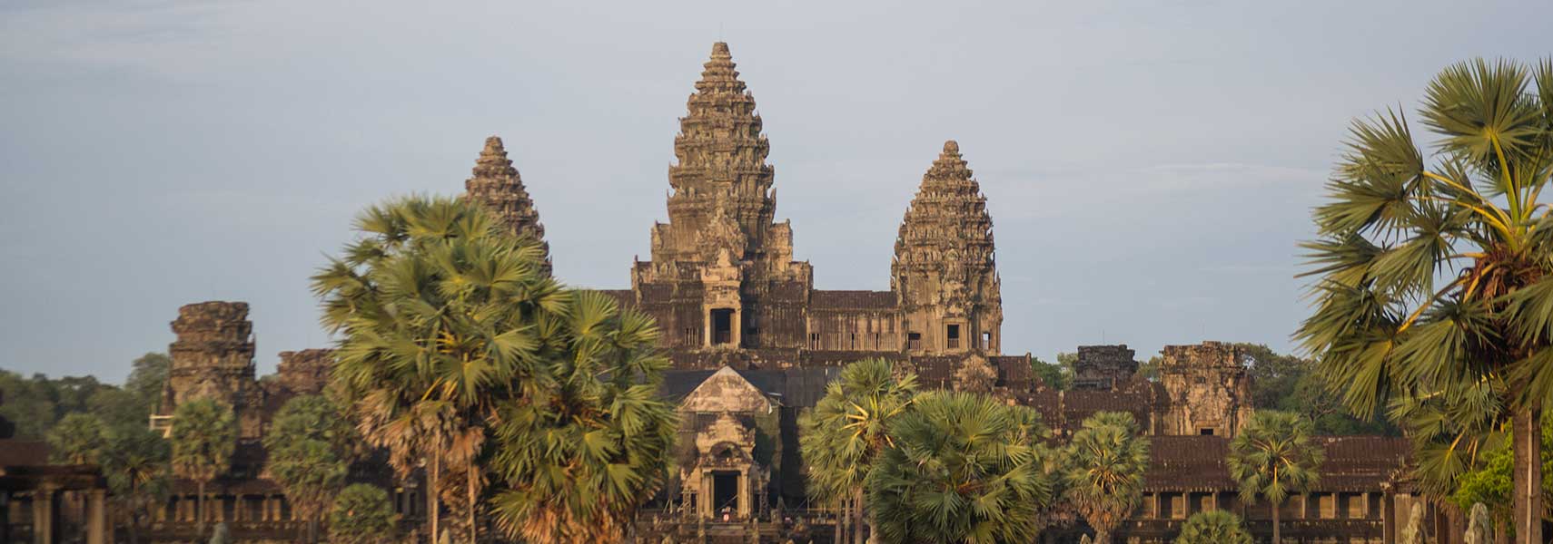 Angkor Wat, Siem Reap, Cambodia |
About Cambodia Map is showing Cambodia a country in Southeast Asia, between Thailand and southern Vietnam, south of Laos, bordering the Gulf of Thailand in southwest. Map is showing Cambodia a country in Southeast Asia, between Thailand and southern Vietnam, south of Laos, bordering the Gulf of Thailand in southwest. 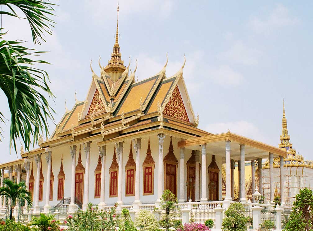 The Royal Palace in Phnom Phen. All Photos: © nationsonline.org Cambodia has a population of about 14.7 million inhabitants (2013 census). Capital city is Phnom Penh. Spoken languages are, predominantly Khmer (90%), a Mon–Khmer language, and Vietnamese (5%). Cambodia was officially called the Khmer Republic (1970–75) and Kampuchea (1976–89). The map shows Cambodia with cities, towns, expressways, main roads and streets. To find a location use the form below. |
|
| To find a location type: street or place, city, optional: state, country. |
Local Time Phnom Penh:
Saturday-April-27 17:08
UTC/GMT +7 hours |
|
φ Latitude, λ Longitude (of Map center; move the map to see coordinates): , |
||||||
| Google Earth: Searchable map / Map and Satellite View of the Kingdom of Cambodia. |
Bookmark/share this page |
|||||
| More about Cambodia: Landmarks: Cities: Country: Cambodia key statistical data. Continent: |
Weather Conditions Phnom Penh:
|
Related Consumer Information:
|
||||
Searchable Maps of other Countries in South East Asia: Brunei, Cambodia, Indonesia, Laos, Malaysia, Myanmar (Burma), Philippines, Singapore, Thailand, Vietnam |
Map Help [ show ] |
One World - Nations Online .:. let's care for this planet Promote that every nation assumes responsibility for our world. Nations Online Project is made to improve cross-cultural understanding and global awareness. More signal - less NOISE |
| Site Map
| Information Sources | Disclaimer | Copyright © 1998-2023 :: nationsonline.org |

