Nations Online
All Countries in the World
Nations Online All Countries in the World | |
Home  |
___ Satellite View and Map of Sultanate of Brunei |
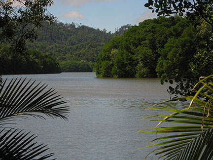
About Brunei Map is showing Brunei a small country on the north coast of the island of Borneo, bordering the South China Sea and Brunei Bay. With an area of 5,765 km² the sultanate is twice the size of Luxembourg or slightly smaller than the US state of Delaware. Map is showing Brunei a small country on the north coast of the island of Borneo, bordering the South China Sea and Brunei Bay. With an area of 5,765 km² the sultanate is twice the size of Luxembourg or slightly smaller than the US state of Delaware.Brunei, officially calls itself the Nation of Brunei, the Abode of Peace, has a population of 423,000 inhabitants. Brunei's landscape offers a flat coastal plain which rises to mountains in east and there is a hilly lowland in west. Capital city is Bandar Seri Begawan. Spoken languages are Malay, and English (both official), and Chinese. Countries with international borders to Brunei are Malaysia, so Brunei is also close to the Indonesian part of the island. The country has a tropical, hot and humid climate. The map shows Brunei with cities, towns, and main roads. To find a location use the form below. |
|
| To find a location type: street or place, city, optional: state, country. |
Local Time Brunei Darussalam:
Saturday-April-27 00:15
UTC/GMT +8 hours |
|
φ Latitude, λ Longitude (of Map center; move the map to see coordinates): , |
||||||
| Google Maps: Searchable Map of Brunei Darussalam. |
Bookmark/share this page |
|||||
| More about Brunei: Cities: Country: Brunei key statistical data. Continent: |
Current Weather Conditions Brunei:
|
Related Consumer Information:
|
||||
Searchable Maps of other Countries in South East Asia: Cambodia, Indonesia, Laos, Malaysia, Myanmar (Burma), Philippines, Singapore, Thailand, Vietnam |
Map Help [ show ] |
One World - Nations Online .:. let's care for this planet Promote that every nation assumes responsibility for our world. Nations Online Project is made to improve cross-cultural understanding and global awareness. More signal - less NOISE |
| Site Map
| Information Sources | Disclaimer | Copyright © 1998-2023 :: nationsonline.org |