Nations Online
All Countries in the World
Nations Online All Countries in the World | |
Home  |
___ Satellite View and Map of Ukraine (Україна) |
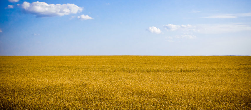 Typical agricultural landscape of Ukraine, "It is pure Ukraine nature and this are the colors of our flag! The sky and wheat fields are ours!" Image: Dobrych |
About Ukraine Map is showing the eastern European country, bordering the Black Sea in the south and the Sea of Azov in south east. Countries with international borders to Ukraine are Belarus, Hungary, Moldova, Poland, Romania, Russia, and Slovakia, it shares maritime borders with Georgia and Turkey. Map is showing the eastern European country, bordering the Black Sea in the south and the Sea of Azov in south east. Countries with international borders to Ukraine are Belarus, Hungary, Moldova, Poland, Romania, Russia, and Slovakia, it shares maritime borders with Georgia and Turkey.An area of 600,000 km² making Ukraine the second largest country in Europe after Russia, it is twice the size of Italy or slightly smaller than the U.S. state of Texas. 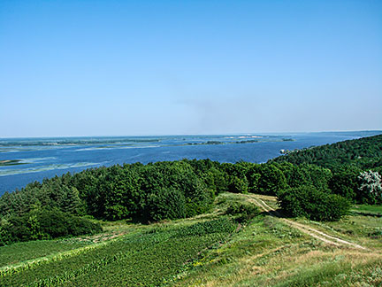 Dnieper River near the village Vytachiv. The country has a population of 45.4 million people, capital city is The map shows Ukraine with cities, towns, expressways, main roads and streets. To find a location use the form below. River |
||
| To find a location type: street or place, city, optional: state, country. |
Local Time Ukraine:
Saturday-April-27 08:02
Standard Time: UTC/GMT +2 hours.Daylight saving time from end of March till end of October: UTC/GMT +3 hours. |
|
One World - Nations Online .:. let's care for this planet Promote that every nation assumes responsibility for our world. Nations Online Project is made to improve cross-cultural understanding and global awareness. More signal - less NOISE |
| Site Map
| Information Sources | Disclaimer | Copyright © 1998-2023 :: nationsonline.org |

