Nations Online
All Countries in the World
|
One Planet Nations Online All Countries in the World | |
Home  |
___ Satellite View and Map of the City of Minsk (Мінск, Минск) |
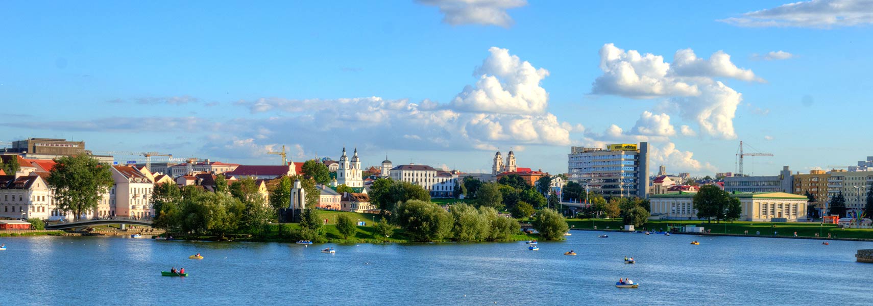
 View of Minsk at the Svislach River. Holy Spirit Cathedral in center and Cathedral of Saint Virgin Mary in center right. Image: Ihar Mahaniok |
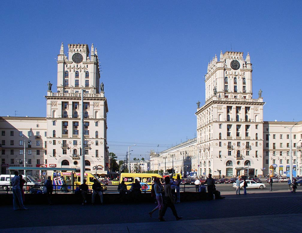
About Minsk Satellite view is showing Minsk, largest city, chief cultural center and the national capital of Satellite view is showing Minsk, largest city, chief cultural center and the national capital of  Railway station square in Minsk, an example of Stalinist monumental architecture. Image: Hanna Zelenko The region was annexed by the Russian Empire in 1793. After the Russian Revolution Minsk was the capital of the Byelorussian Soviet Socialist Republic in the Soviet Union from 1919 to 1991. With independence from the USSR in 1991, the city became the capital of the 'independent' nation of Belarus and the administrative center of the Commonwealth of Independent States (CIS), the regional organization of nine former republics of the now dissolved Soviet Union. The city has a population of about 2 million people (in 2014). Spoken languages are Russian (predominantly) and Belarusian. The city is famous for its soviet style monumental architecture. Top tourist attractions are the Minsk Botanical Garden, the Belarusian Great Patriotic War Museum, Minsk Zoo, the Belarusian State Circus (circus art in Belarus traces its roots back to the late 19th century), the Belarusian National Arts Museum, the Museum of Stones (small park with big stones), the Pripyatskiy National Park, a natural reserve in Gomel Region (about 200 km south of the city). Just zoom in (+) to see the National Academic Bolshoi Opera and Ballet Theatre building, home to the Belarusian ballet company which is considered one of the foremost companies in the world. The map shows a city map of Minsk with expressways, main roads and streets, zoom out to find the location of Minsk International Airport (IATA code: MSQ), about 42 km (26 mi) east of the city. To find a location use the form below. |
|
| To find a location type: street or place, city, optional: state, country. |
Local Time Belarus:
Saturday-April-20 07:37
Standard Time Zone: Further-eastern European Time (FET) :: UTC/GMT +3 hours |
|
φ Latitude, λ Longitude (of Map center; move the map to see coordinates): , |
||||||
| Google Earth: Searchable Map and Satellite view of Minsk, Republic of Belarus. City Coordinates: 53°54′N 27°34′E |
Bookmark/share this page
|
|||||
| More about Belarus: Country: Continent: External Links: Minsk (official city site) Wikipedia: Minsk |
Current Weather Conditions Minsk |
Related Consumer Information:
|
||||
Maps of other countries and regions in Central and Eastern Europe Bulgaria Map, Czech Republic Map, Hungary Map, Moldova Map, Poland Map, Romania Map, Slovakia Map, Ukraine Map Administrative Maps of other countries and regions in Central and Eastern Europe Hungary Administrative Map, Poland Administrative Map, Ukraine Administrative Map Interactive Maps of other countries and regions in Central and Eastern Europe Bulgaria Interactive Map, Czech Interactive Republic Map, Hungary Interactive Map, Moldova Interactive Map, Poland Interactive Map, Romania Interactive Map Slovakia Interactive Map, Ukraine Interactive Map Other Cities in Eastern Europe: Bratislava | Bucharest | Budapest | Chisinau | Kiev | Moscow | Odessa Prague | Riga | Sofia | Sevastopol (Crimea) | Tallinn | Warsaw | Vilnius All Countries and Territories of Europe |
||||||
Map Help [ show ]  |
||||||
One World - Nations Online .:. let's care for this planet Promote that every nation assumes responsibility for our world. Nations Online Project is made to improve cross-cultural understanding and global awareness. More signal - less NOISE |
| Site Map
| Information Sources | Disclaimer | Copyright © 1998-2023 :: nationsonline.org |