Nations Online
All Countries in the World
|
One Planet Nations Online All Countries in the World | |
Home  |
___ Satellite View and Map of the City of Georgetown, Guyana |
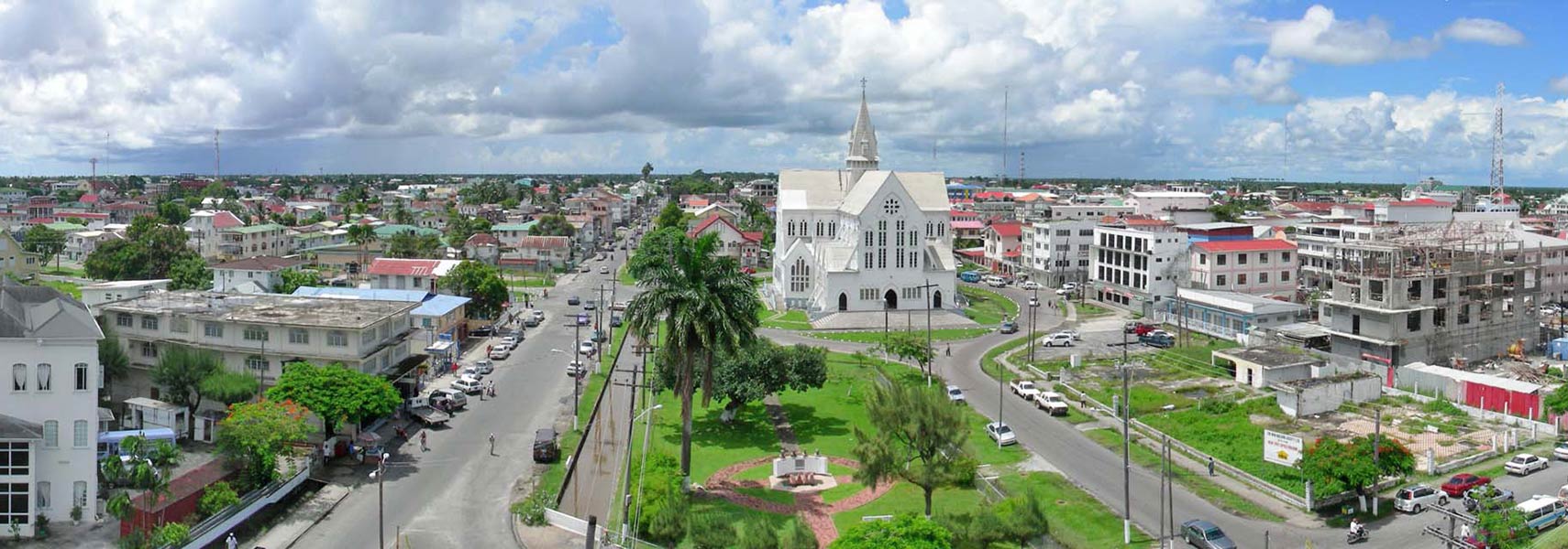
 Panoramic view of Georgetown, Guyana looking in the direction of St. George's Cathedral. Image: John Da Silva |
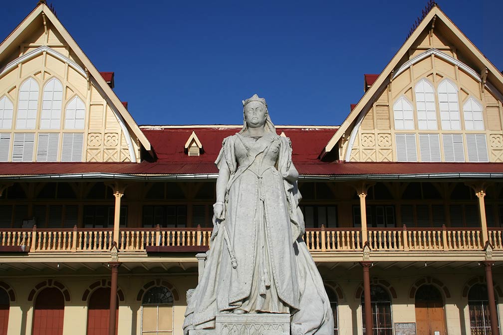
About GeorgetownSatellite view is showing Georgetown, largest city, largest seaport, and the national capital ofThe city is located on the east bank of the estuary of Demerara River in the Demerara-Mahaica region, 30 km east of the mouth of Essequibo River. It was the capital of British Guiana (from 1814 to 1966). There are around sixty Georgetowns around the world but this Georgetown is the only capital of an independent nation. The city has a population of about 235,000 inhabitants, it is a center for retail and for financial services, and the administrative hub of the country. Official language is English. Some Points of interest:  Courthouse in Georgetown, Guyana with a Statue of a grim looking Queen Victoria. Image: Ian Mackenzie Georgetown is the starting point to visit: indigenous villages, Mount Roraima at the triple border point (Venezuela, Guyana and Brazil), Kaieteur National Park with Kaieteur Falls, the world's widest single drop waterfall, located on the Potaro River. Iwokrama Forest, one of the four last pristine tropical forests in the world. The map shows a city map of Georgetown with expressways, main roads and streets, zoom out to find the location of Cheddi Jagan International Airport (IATA code: GEO), 40 (25 mi) by road (via E Bank Public Road) south of Georgetown close to the city of Timehri. To find a location use the form below. |
|
| To find a location type: street or place, city, optional: state, country. |
Local Time Guyana:
Thursday-April-18 00:00
Standard time zone: Guyana Time (GYT) UTC/GMT -4 hours |
|
φ Latitude, λ Longitude (of Map center; move the map to see coordinates): , |
||||||
| Google Earth: Searchable Map and Satellite view of Georgetown, Guyana. City Coordinates: 6°48′N 58°10′W |
Bookmark/share this page
|
|||||
| More about Guyana: Country: External Link: Wikipedia: Georgetown |
Georgetown Weather Conditions weather station at the Cheddi Jagan International Airport near Timehri. |
Related Consumer Information:
|
||||
Other Cities in South America: Asunción (Paraguay) - Bogotá D.C. (Colombia) - Brasilia, Rio de Janeiro, São Paulo, Salvador, (all Brazil) - Buenos Aires (Argentina) - Caracas (Venezuela) - Cayenne, Kourou (both French Guiana) - La Paz, Sucre (both Bolivia) - Lima (Peru) - Montevideo (Uruguay) - Paramaribo (Suriname) - Port of Spain (Trinidad and Tobago) - Quito (Ecuador) - Santiago (Chile) |
||
Map Help [ show ]  |
||
One World - Nations Online .:. let's care for this planet Promote that every nation assumes responsibility for our world. Nations Online Project is made to improve cross-cultural understanding and global awareness. More signal - less NOISE |
| Site Map
| Information Sources | Disclaimer | Copyright © 1998-2023 :: nationsonline.org |