Nations Online
All Countries in the World
Nations Online All Countries in the World | |
Home  |
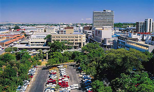
___ Satellite View and Map of Polokwane (form. Pietersburg), Limpopo province, South Africa |
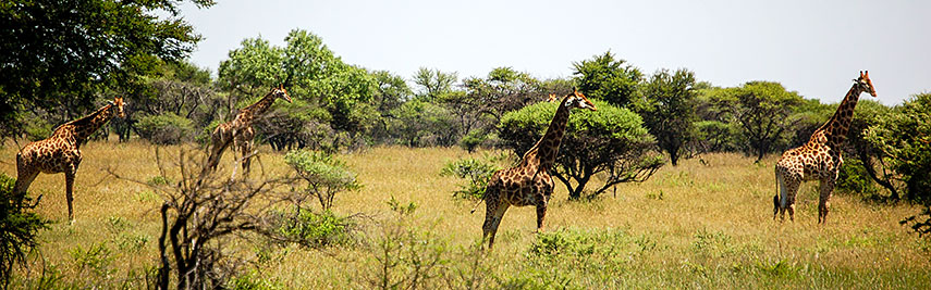 Polokwane Game Reserve, Limpopo province. Image: Matt Artz |
About PolokwaneThe city is located in the Capricorn region in the northeastern part of the South Africa on a plateau at an elevation of 1200 m. The city was founded by Voortrekkers in 1886 and named Pietersburg. In June 2003, the city was renamed Polokwane, a Sotho word that means "Place of Safety". Today the city is the largest urban area in the Great North and is its commercial and industrial center. Polokwane was one of the host cities for 2010 FIFA World Cup. Polokwane has a population of about about 640,000 inhabitants. Spoken languages are Sepedi, TshTsonga, TshiVenda, IsiNdebele and English and Afrikaans. Some points of interest in and near Polokwane: Polokwane Game Reserve, Polokwane Bird and Reptile Park, Chuene Crocodile Farm, “The Farmyard” with “The Barnyard.” The map shows a city map of Polokwane with expressways, main roads and streets, and the location of Peter Mokaba Stadium, as well as Polokwane International Airport (IATA: PTG). To find a location use the form below. |
|
| To find a location type: street or place, city, optional: state, country. |
Local Time Polokwane:
Friday-April-26 21:07
(UTC/GMT +2 hours)
|
|
φ Latitude, λ Longitude (of Map center; move the map to see coordinates): , |
||||||
| Sorry! Google's pricing policy has made it impossible for us to continue showing Google Maps. We apologize for any inconvenience. Google Map: Searchable Map and Satellite View of the City of Polokwane, South Africa. City Coordinates: 23°54′00″S 29°27′00″E |
Bookmark/share this page |
|||||
| More about South Africa: Other major Cities in South Africa: Country: South Africa key statistical data. Continent: |
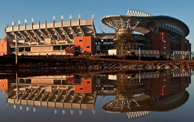 Peter Mokaba Stadium Image by ChuckAitch (Charles Heiman) Weather Conditions Polokwane
External Links: City of Polokwane Polokwane official web site. Polokwane Observer Local news. Wikipedia: Polokwane Wikipedia article about Polokwane. |
Explore more:
Related Consumer Information:
|
||||
Other Countries of Southern Africa: Botswana | Lesotho | Namibia | Swaziland Maps of other Countries of Southern Africa: Botswana Map | Namibia Map | Swaziland Map Searchable Maps of other Countries of Southern Africa: Botswana Interactive Map | Namibia Interactive Map | Lesotho Interactive Map | Swaziland Interactive Map Other Major Cities in Southern Africa: Gaborone | Lobamba | Maseru | Mbabane | Windhoek |
||||||
Map Help [ show ] |
||||||
One World - Nations Online .:. let's care for this planet Promote that every nation assumes responsibility for our world. Nations Online Project is made to improve cross-cultural understanding and global awareness. More signal - less NOISE |
| Site Map
| Information Sources | Disclaimer | Copyright © 1998-2023 :: nationsonline.org |