Nations Online
All Countries in the World
Nations Online All Countries in the World | |
Home  |
___ Satellite View and Map of Liechtenstein |
About Liechtenstein
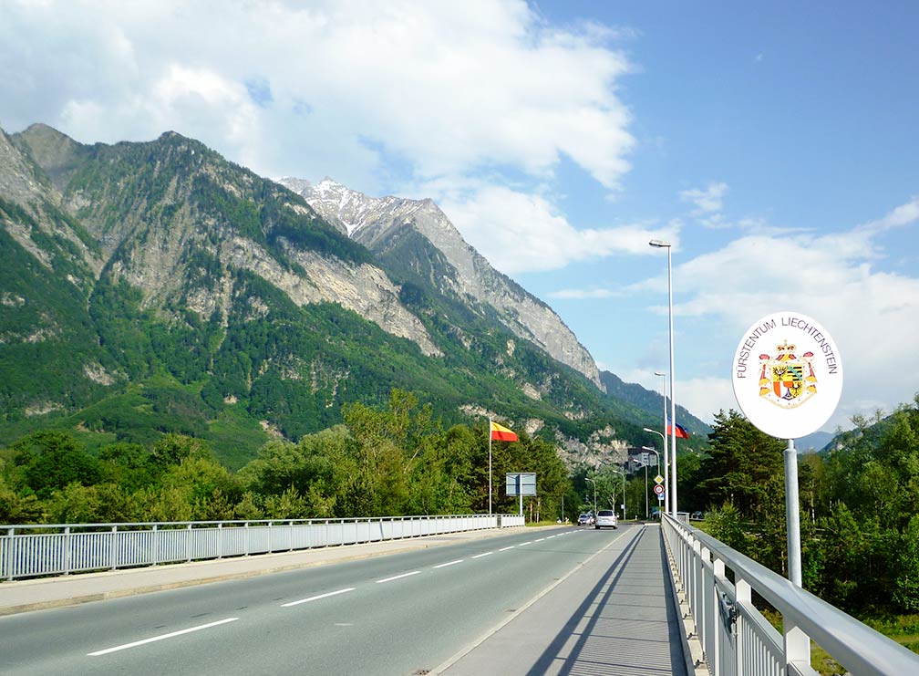 The border between Liechtenstein (Balzers) and Switzerland (Trübbach) towards Liechtenstein. In the background, Gutenberg Castle and the Liechtenstein Alps. Image: St9191 From north to south, the country is about 24 km (15 mi) long, an area of 160 km² (61.8 sq mi) making the country the sixth-smallest independent nation in the world. Liechtenstein has a constitutional monarch as Head of State, the country is headed by the Prince of Liechtenstein. The Principality was established within the Holy Roman Empire in 1719; it became a sovereign state in 1806. Today Liechtenstein has a has a population of 37,600 people (2015), the national capital is The map shows Liechtenstein with towns, main roads and streets. To find a location use the form below. |
|
| To find a location type: street or place, city, optional: state, country. | Local Time Liechtenstein:
Tuesday-July-28 00:32
Standard Time Zone (CET): UTC/GMT +1 hourCEST (Daylight Saving Time) in use from end of March until end of October: time zone offset: UTC/GMT +2 hours |
|
φ Latitude, λ Longitude (of Map center; move the map to see coordinates): , |
||||||
| Google Maps: Searchable Map of Principality of Liechtenstein. |
Bookmark/share this page |
|||||
| More about Liechtenstein: City: Country: Continent: |
Current Weather Conditions Vaduz
|
Related Consumer Information:
|
||||
Major Cities in Western Europe Amsterdam, Berlin, Bern, Cologne, Brussels, Frankfurt, Hamburg, Luxembourg (City), Monaco, Munich (München), Nice, Paris, Rotterdam, The Hague, Vaduz, Vienna (Wien), Zurich Searchable Maps of other Countries in Western Europe: Austria | Belgium | France | Germany | Luxembourg | Monaco | Netherlands | Switzerland Political Maps of other Countries in Western Europe: Austria Map | Belgium Map | France Map | Germany Map | Netherlands Map | Switzerland Map |
||||||
Map Help [ show ] |
||||||
One World - Nations Online .:. let's care for this planet Promote that every nation assumes responsibility for our world. Nations Online Project is made to improve cross-cultural understanding and global awareness. More signal - less NOISE |
| Site Map
| Information Sources | Disclaimer | Copyright © 1998-2024:: nationsonline.org |

