Advertising

Laos Flag detail
Home Earth Continents Asia Laos Country Profile Vientiane Pha That Luang


Map Index

Pha That Luang, Vientiane, Laos


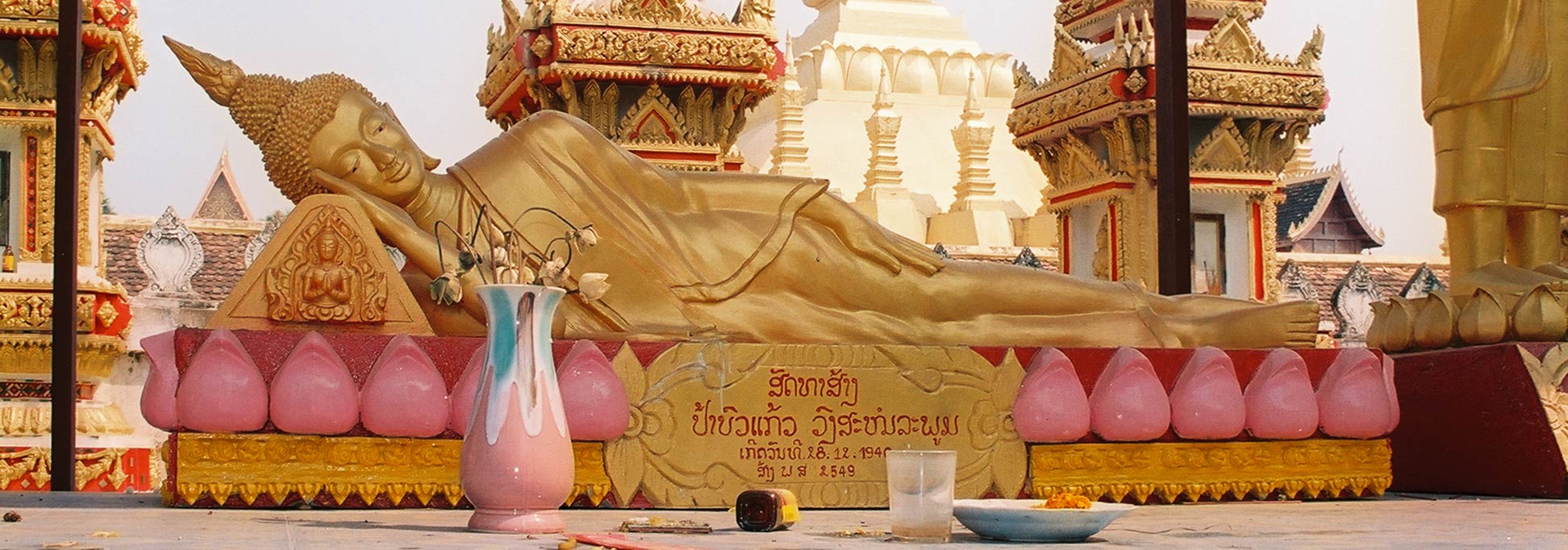
Reclining Buddha at Pha That Luang
Reclining Buddha on the Pha That Luang compound.
Image: kk nationsonline.org


About Pha That Luang
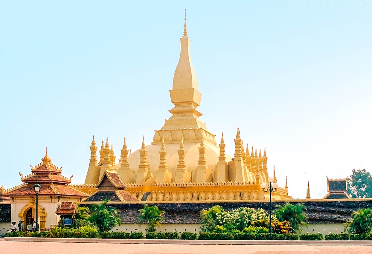

Pha That Luang monument in Vientiane, Laos is the national symbol
The Pha That Luang monument in Vientiane is the national symbol of Laos.
Image: kk nationsonline.org

The satellite view shows Pha That Luang (the Great Stupa) in Vientiane, the capital of Laos. The country's largest city is a major river port at the Mekong river, which marks the Laos- Thailand border.

Pha That Luang is the national symbol of Laos. The compound of the stupa with its two remaining temples of Wat That Luang Nuea and Wat That Luang Tai is located about 5 km northeast of central Vientiane at the end of Pha That Luang Road.

According to legend, when King Setthathirath (Xaysettha) moved the Laotian capital from Luang Prabang to Vientiane, he ordered the construction of a stupa on the site of the ruins of a 13th century Mon-Khmer temple.

The gold-covered 45 m tall Buddhist monument was built in the 16th-century.

The failed Lao rebellion of 1826 in an attempt to end the suzerainty of Siam, triggered retaliation by Siam (Thailand) and led to the destruction of the city of Vientiane and the damage of Pha That Luang.

The Laotians later restored it to its original design.


To find a location use the form below.


Sorry! Google's pricing policy has made it impossible for us to continue showing Google Maps. We apologize for any inconvenience.

Google Map: Searchable map and satellite view of Pha That Luang, Vientiane, Laos.

Monument coordinates: 17°58′34.2″ N, 102°38′3.3″ E

φ Latitude, λ Longitude (of Map center; move the map to see coordinates):

,


Bookmark/share this page
  Instagram button

More about Laos

Landmarks:
Vat Phou
A Khmer Hindu temple complex in Champasak province.

Cities:
Searchable map/satellite view of Vientiane

Country:
Searchable map/satellite view of Lao PDR
Political Map of Lao PDR
Lao PDR Country Profile
Images of Laos
Laos in numbers
Lao PDR Key Statistical Data.

Continent:
Map of Southeast Asia
Map of Asia

External Links:
Wikipedia: Pha That Luang
Wikipedia article about Pha That Luang.
 

Weather Conditions Vientiane:

VIENTIANE WEATHER
 

Advertisements:


Other Major Cities in South East Asia:
Bandar Seri Begawan, Bandung, Bangkok, Hanoi, Ho Chi Minh City (Saigon), Jakarta, Johor Bahru, Kuala Lumpur, Manila, Medan, Phnom Penh, Singapore, Surabaya, Yangon

Maps of Countries in Southeast Asia:
Brunei, Cambodia, Indonesia, Laos, Malaysia, Myanmar (Burma), Philippines, Singapore, Thailand, Vietnam

Map Help [ show ]
up