Nations Online
All Countries in the World
|
One Planet Nations Online All Countries in the World | |
Home  |
___ Satellite View and Map of Pakistan |
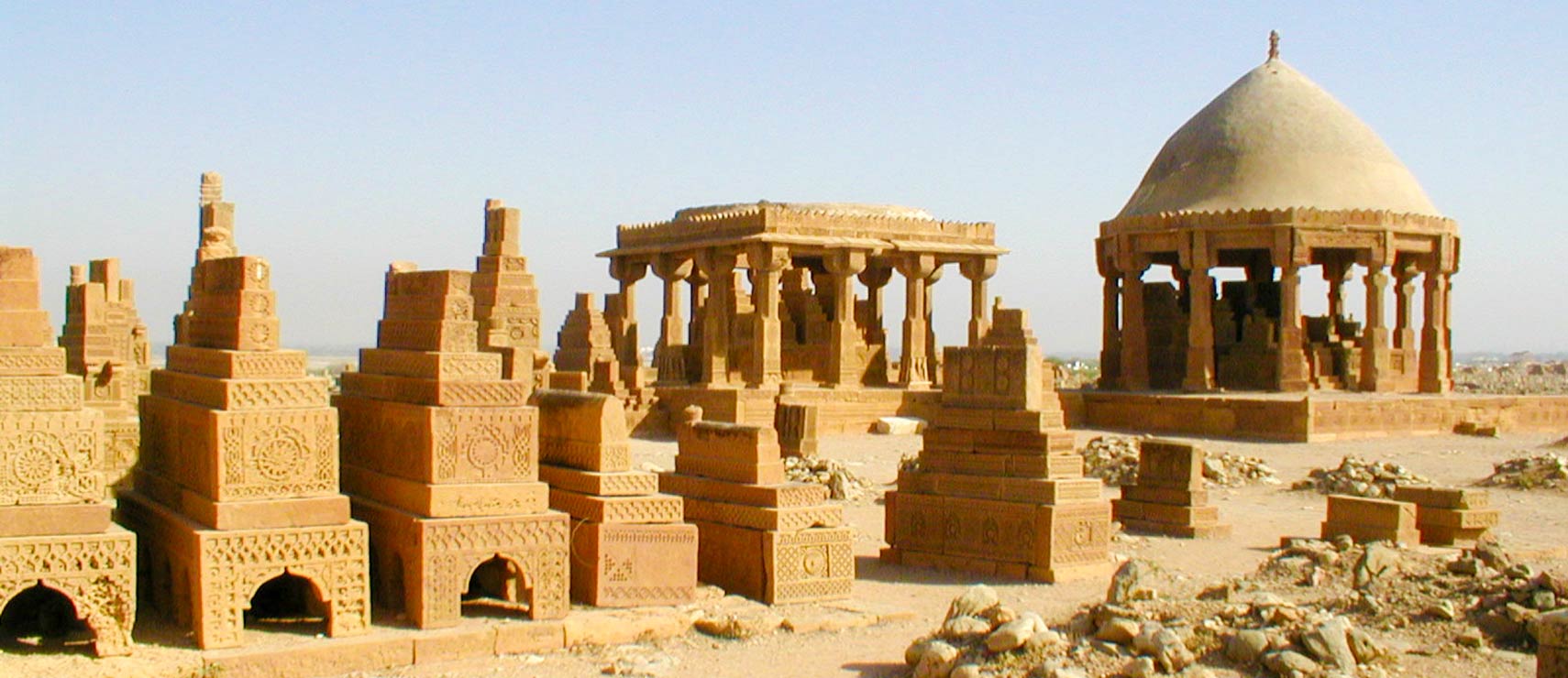
 Chaukhandi tombs, the tombs are an early Islamic cemetery about 31 km (19 mi) east of Karachi in Sindh province. Image: Mwaqas |
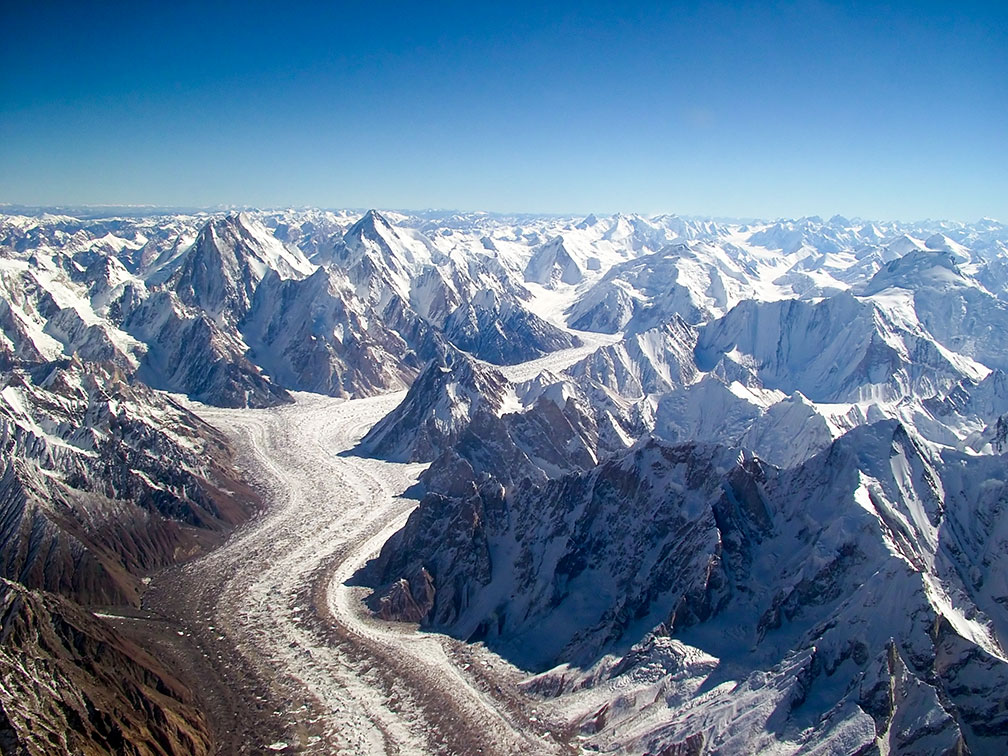
Searchable Map of Pakistan using Google Earth Data Satellite view is showing the Southern Asian country in the Indian subcontinent bordering the Arabian Sea. Countries with international borders to Pakistan are Afghanistan, China, India, and Iran. Satellite view is showing the Southern Asian country in the Indian subcontinent bordering the Arabian Sea. Countries with international borders to Pakistan are Afghanistan, China, India, and Iran. Capital city of  Aerial View of the Baltoro Glacier towards Concordia with the peaks of Gasherbrum IV, Gasherbrum I, Baltoro Kangri and Chogolisa in the Karakoram mountain range of Northern Pakistan. Image: Guilhem Vellut Pakistan's terrain is made up by the flat Indus plain in east, characterized by the Indus, the country's longest river and a key water resource. Pakistan's north is dominated by mountains in north and northwest, and in west by the Balochistan plateau, the western part of the Iranian plateau. Highest elevation in the country is K2 with 8,611 m, it is the second-highest mountain on Earth, located in K2 Central Karakoram National Park on the border between Pakistan and Xinjiang province of China in the Himalayas. The mountain is also known as Mt. Godwin-Austen, Chhogori/Qogir, and Ketu/Kechu. The Map shows Pakistan with expressways, main roads and streets. |
|
|
To find a location type: street or place, city, optional: state, country. |
Local Time Islamabad:
Thursday-April-25 09:36
UTC/GMT +5 hours |
|
φ Latitude, λ Longitude (of Map center; move the map to see coordinates): , |
||||||
| Google Earth: Searchable Map and Satellite View of Pakistan (Islamic Republic of Pakistan). |
Bookmark/share this page
|
|||||
|
|
||||||
| More about Pakistan: Cities: Searchable maps and information about: Country: Pakistan key statistical data. Continent: |
Weather Conditions Islamabad: |
Related Consumer Information:
|
||||
Searchable Maps of other Countries in South Central Asia: Bangladesh, Bhutan, India, Maldives, Nepal, Sri Lanka |
||||||
Map Help [ show ]  |
||||||
One World - Nations Online .:. let's care for this planet Promote that every nation assumes responsibility for our world. Nations Online Project is made to improve cross-cultural understanding and global awareness. More signal - less NOISE |
| Site Map
| Information Sources | Disclaimer | Copyright © 1998-2023 :: nationsonline.org |