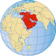
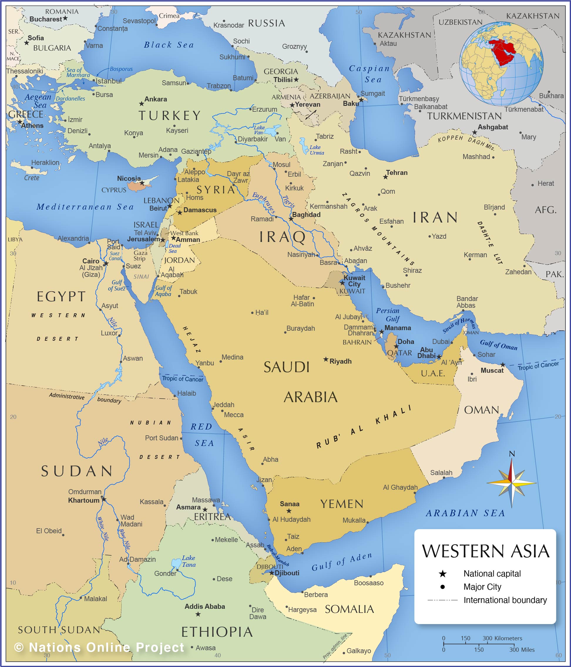
The following states and dependent territories are geographically counted as part of Western Asia and the Middle East:
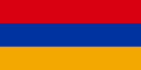
Armenia is a landlocked country in the Caucasus. Capital city is Yerevan; spoken language is Armenian.
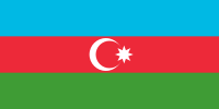
Azerbaijan is a country in the Caucasus on the western shore of the
Caspian Sea. Capital city is Baku; spoken languages are Azerbaijani (official) and Russian.
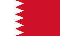
Bahrain is a group of islands in the Persian Gulf. The capital city of the Sunni-led monarchy is Manama; spoken language is Arabic.
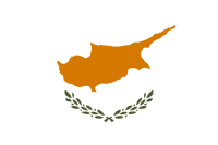
Cyprus is an island in the Mediterranean Sea. The island is shared by the Republic of Cyprus, an EU member state, and Turkish occupied Northern Cyprus. Capital of the Republic of Cyprus is Nicosia; official languages are Greek and Turkish.
Egypt is a transcontinental country in
North Africa bordering the Mediterranean Sea; Egypt's territory on the
Sinai Peninsula is located in Western Asia. Capital and largest city is
Cairo; official language is Arabic.
Georgia is a country in the Caucasus on the eastern shore of the Black Sea. Capital city is Tbilisi;
spoken languages are Georgian (official), Russian, and Armenian.
Iran, officially the Islamic Republic of Iran, is a country in the Middle East, between Iraq and
Pakistan, bordering the Caspian Sea, the Persian Gulf, and the Gulf of Oman. Capital city is Tehran; spoken languages are Persian (Farsi), Azerbaijani and other Turkic dialects, Kurdish, and Arabic.
Iraq is a country in the Middle East, bordering the Persian Gulf between Iran and Kuwait. Capital city is Baghdad; the official language is Arabic.
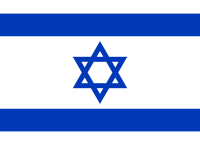
Israel, officially the State of Israel, is a country in the Middle East between Egypt and Lebanon, bordering the Mediterranean Sea. The seat of government and the proclaimed capital is Jerusalem; the economic capital is Tel Aviv; spoken languages are Hebrew (official), English, and Arabic.
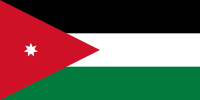
Jordan, officially the Hashemite Kingdom of Jordan, is a country in the Middle East, east of the Jordan River and northwest of Saudi Arabia, between Israel and Iraq. Capital city is Amman; spoken language is Arabic (official).
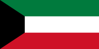
Kuwait is a country in the Middle East between Iraq and Saudi Arabia, bordering the Persian Gulf. Capital city is Kuwait City; official language is Arabic.
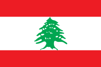
Lebanon is a country in the Levant between Israel and Syria, bordering the Mediterranean Sea. Capital city is Beirut; spoken languages are Arabic (official), French, English, and Armenian.
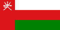
Oman is a country at the eastern corner of the Arabian Peninsula, between Yemen and the UAE, bordering the Arabian Sea, the Gulf of Oman, and the Persian Gulf. Capital city is Muscat; spoken language is Arabic (official).
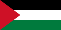
Palestine, officially the State of Palestine, consists of two separate territories, the Gaza Strip and the West Bank. Capital city is East Jerusalem, occupied by Israel. Official language is Arabic.
Qatar is a sheikdom ruled by the Al Thani family since the mid-18th century. The country is located on a peninsula on the Persian Gulf coast and borders Saudi Arabia. Capital city is Doha; spoken language is Arabic (official).
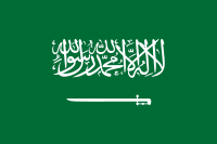
Saudi Arabia is a country in south-western Asia, occupying most of the Arabian peninsula. Capital city is Riyadh; spoken language is Arabic (official).
The country is the birthplace of Islam and home to Islam's two holiest sites, Mecca and Medina.
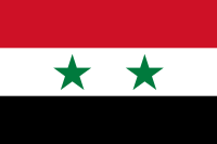
Syria is a country in the Levant bordering the Mediterranean Sea, between Lebanon and Turkey. Capital city is Damascus; spoken languages are Arabic (official), Kurdish, Armenian, Aramaic.
Turkey occupies the Anatolian peninsula between the Black Sea and the Mediterranean Sea, and a small portion in southeastern Europe, west of the Bosporus. Capital city is Ankara; the largest city is Istanbul; spoken languages are Turkish (official), Kurdish, and other minority languages.
The
United Arab Emirates is an independent state on the Arabian Peninsula bordering the southern Persian Gulf. The country consists of a federation of six emirates. Capital city is Abu Dhabi; spoken languages are Arabic (official), English, Hindi, and other Southern Asian dialects.
Yemen is a country in the southwestern corner of the Arabian Peninsula bordering the Red Sea and the Gulf of Aden. Capital city is Sana'a; spoken language is Arabic (official).
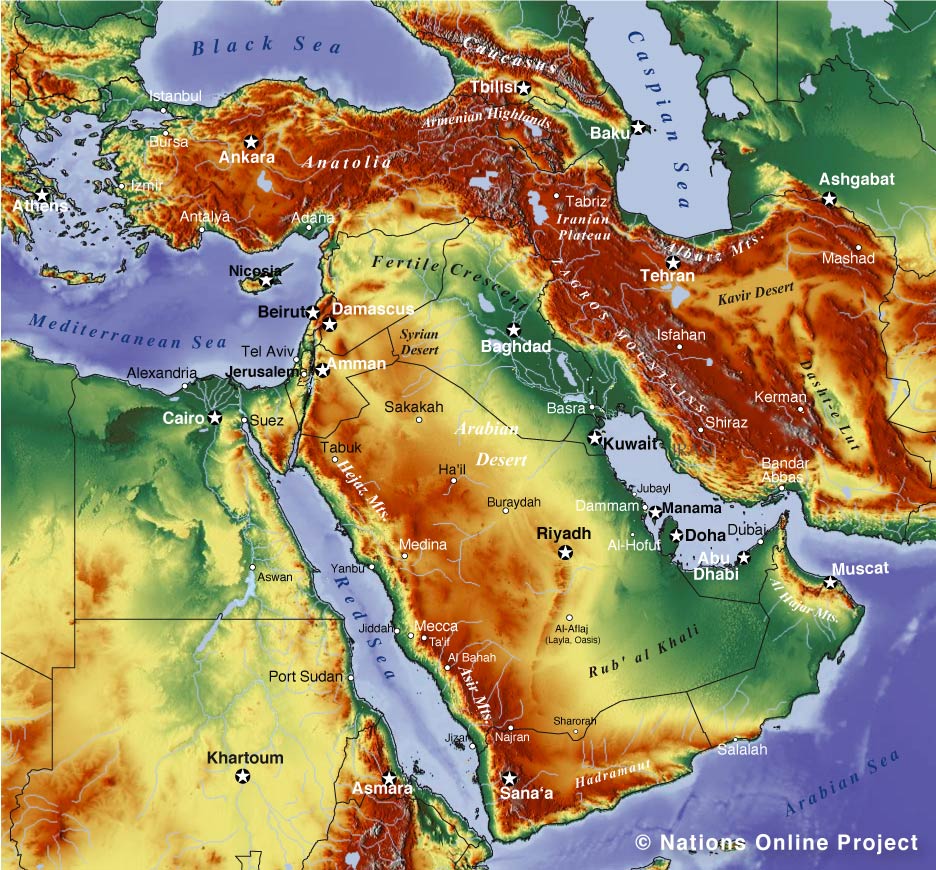
The Arabian Peninsula is the world's largest peninsula, situated in Southwest Asia with the Red Sea in the southwest, the
and the Gulf of Oman in the west and the Arabian Sea in the southeast.
.
occupies most of the center. The island country of
is connected with Saudi Arabia by the King Fahd Causeway.
In the northern part of the peninsula is the Syrian Desert, which includes northeastern
.
connects Asia with Africa, while the Dardanelles, the Sea of Marmara and the Bosporus form a narrow separation from Europe. The Sinai Peninsula is the only part of


