Advertising

 
Home Earth Continents The Americas Bermuda Country Profile Map of Bermuda

Maps Index

Map of Bermuda, North America


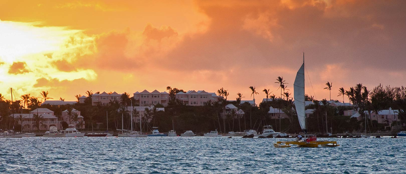
View of Bermuda from the sea at sunset
A view of Bermuda from the sea at sunset.
Image: Larry Lamb

About Bermuda


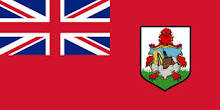
Bermuda Flag
The map shows Bermuda the upper part of a mid-ocean seamount, the flat-topped cone of an extinct volcano in the North Atlantic, today known as the British island territory of Bermuda.

It is the oldest and most populous of the British overseas territories. The archipelago is located 1,430 km (890 mi) east off the coast of South Carolina and 1,535 km (960 mi) north of the British Virgin Islands.

The then apparently uninhabited islands were discovered by the Spanish in 1503. Spanish and Portuguese carracks and galleons, the large ocean-going multi-decked sailing ships of that time, used the islands as a pit stop to take on fresh supplies. English colonists heading for Virginia shipwrecked on the islands and became the first settlers in 1609.

With an area of 53 kmĀ², the country is about half the size of Jersey, the largest of the Channel Islands, or slightly smaller than the U.S. state of Massachusetts.


Map of Bermuda

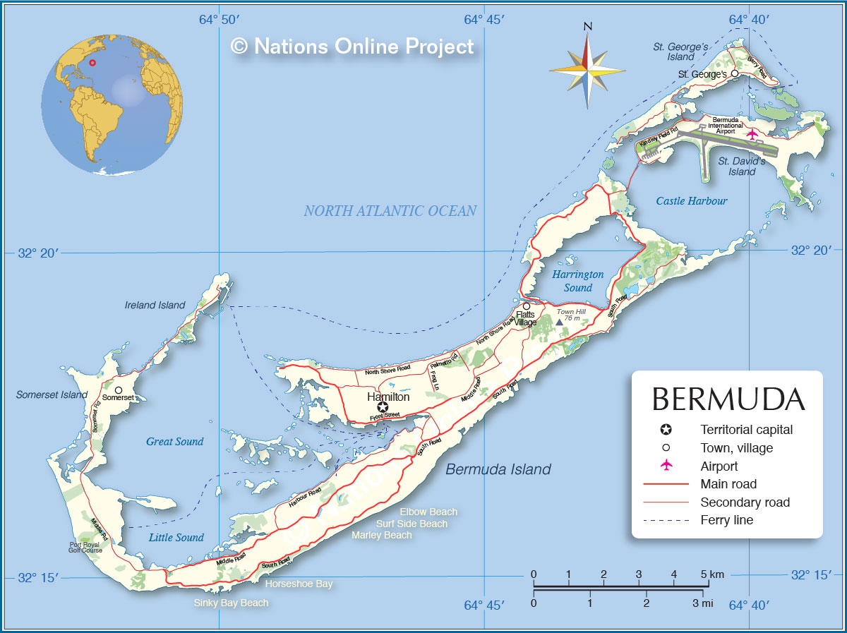
Political Map of Bermuda Islands
Political Map of Bermuda

The map shows Bermuda's major islands, the location of its capital Hamilton, major towns, bays, and beaches, main roads, and the location of the airport.

You are free to use above map for educational purposes, please refer to the Nations Online Project.


Bookmark/share this page
  Instagram button

Weather Conditions Bermuda:

HAMILTON WEATHER


Advertisements:


Maps of Countries in Central America:
Costa Rica Map, El Salvador Map, Guatemala Map, Honduras, Mexico Map, Nicaragua Map, Panama Map

Maps of Caribbean Islands
Cuba Map, Dominican Republic, Haiti Map, Jamaica Map, Puerto Rico Map
up