Nations Online
All Countries in the World
Nations Online All Countries in the World | |
Home  |
___ Satellite View and Map of El Salvador |
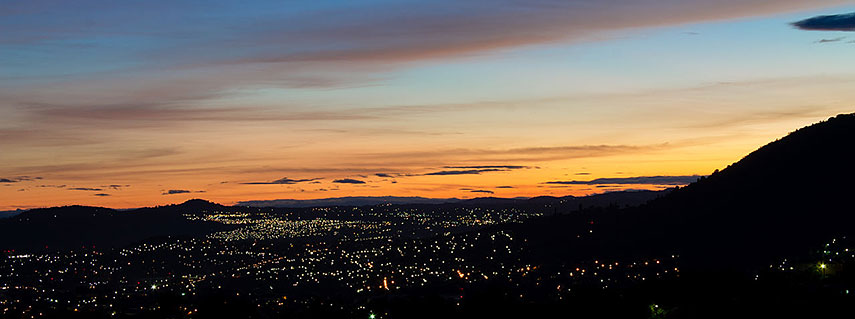 Sunrise at San Salvador, El Salvador's capital. Image: Alexander Bonilla |
About El SalvadorThe map is showing El Salvador, a mountainous country in western Central America, bordered by the Pacific Ocean in south, by Guatemala in west and by Honduras in north and it shares maritime borders with Nicaragua.An area of 21,000 km² is making El Salvador the smallest Central American country, about the size of Slovenia or slightly smaller than the U.S. state of Massachusetts. The county's highest peak is Cerro El Pital with 2,730 m, located on the border of El Salvador and Honduras. It is one of the most popular tourist attractions in El Salvador and the coldest place in the country. El Salvador has a population of 6.4 million people (in 2015). Capital city is San Salvador. Spoken languages are Spanish, English and Nahuat, an indigenous language. The map shows El Salvador with cities, towns, expressways, main roads and streets. To find a location use the form below. |
|
| To find a location type: street or place, city, optional: state, country. |
Local Time El Salvador:
Thursday-April-25 12:20
Time zone: Central Standard Time (CST) UTC/GMT -6 hours |
|
φ Latitude, λ Longitude (of Map center; move the map to see coordinates): , |
||||||
| Google Maps: Searchable Map of El Salvador. |
Bookmark/share this page |
|||||
| More about El Salvador: Cities: Country: Continent: | Current Weather Conditions San Salvador: (Weather station is in Nueva Ocotepeque a city in south west Honduras, north of San Salvador).
|
Related Consumer Information:
|
||||
| Searchable Maps of other Countries of Central America: Belize, Costa Rica, El Salvador, Guatemala, Honduras, Nicaragua, Panama Country Profiles: Countries and Territories of The Americas |
||||||
Map Help [ show ] |
||||||
One World - Nations Online .:. let's care for this planet Promote that every nation assumes responsibility for our world. Nations Online Project is made to improve cross-cultural understanding and global awareness. More signal - less NOISE |
| Site Map
| Information Sources | Disclaimer | Copyright © 1998-2023 :: nationsonline.org |

