Advertising

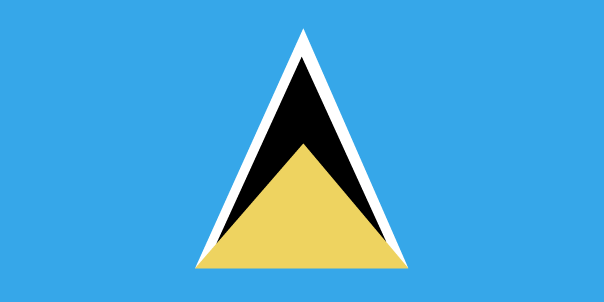
St Lucia Flag detail
Home Earth Continents The Americas Saint Lucia Country Profile Map of Saint Lucia

Maps Index

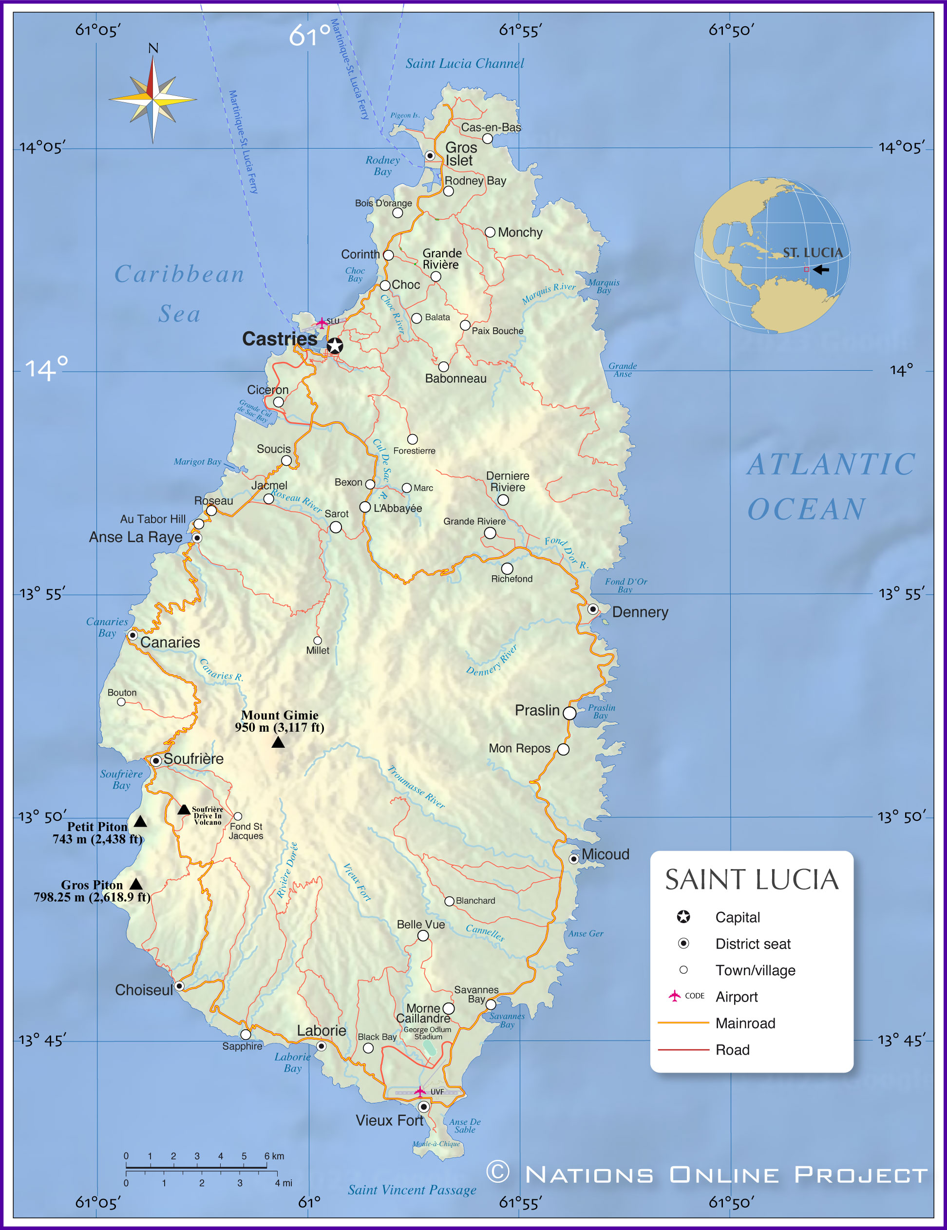
Map of Saint Lucia


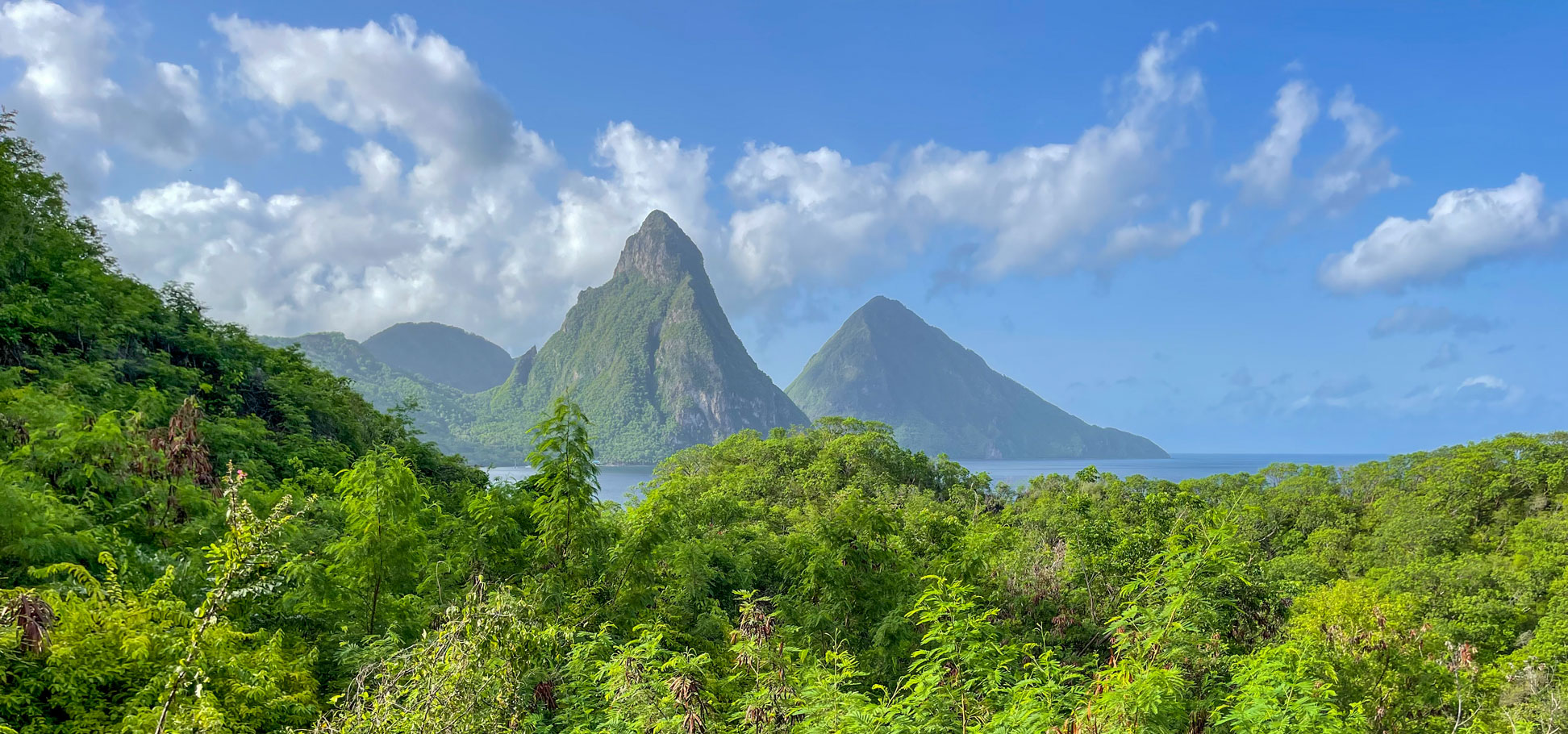
The twin peaks of Petit Piton (in front) and Gros Piton in southwestern St. Lucia
The twin peaks of Petit Piton (in front) and Gros Piton in southwestern St. Lucia near Soufrière, seen from Jade Mountain Resort.
Image: Heather Cowper

About Saint Lucia


Saint Lucia Flag
The map shows Saint Lucia, a tropical island country in the Lesser Antilles, a group of islands in the eastern Caribbean (West Indies).
Saint Lucia is situated 37 km south of Martinique and 43 km northeast of St. Vincent.

The island has an area of 616 km²; compared, it is somewhat smaller than Singapore, or about three and a half times the size of Washington, D.C.

Saint Lucia is of volcanic origin; its only active volcano is the Soufrière Volcanic Center (Qualibou), known as the "drive-in volcano." [1] The landscape is mountainous, with some fertile valleys fed by various rivers and streams.

Saint Lucia has a population of 180,000 (est. in 2023). The capital and largest city is Castries, a cruise port and the island's commercial center. The official language is English, most of the population speaks a French-based Creole (Patois). The main religion is Roman Catholic.

 
Map of Saint Lucia

Map of Saint Lucia
Political Map of Saint Lucia

The map shows the island country of Saint Lucia with the location of Castries, the national capital, district capitals, major urban centers, rivers, expressways and roads, and the location of the two local airports.

You are free to use the above map for educational and similar purposes; if you publish it online or in print, you need to credit the Nations Online Project as the source.


More about Saint Lucia


Statue of Ramses II in the Temple of Luxor, Saint Lucia
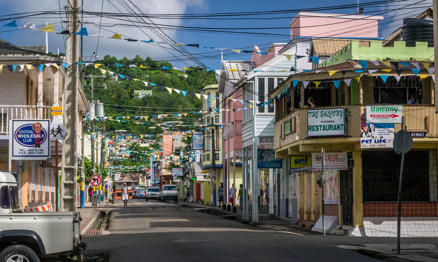
Brazil Street in Castries, the capital city of Saint Lucia.
Photo: David Kirsch


Along with the other Windward Islands, Saint Lucia became a state associated with the United Kingdom in 1967. Although St. Lucia gained its independence in 1979, it remains a member of the British Commonwealth.

The second largest of the Windward islands in the Lesser Antilles is dominated by high hills covered by rain forests in the interior. It is a popular tourist destination and a port of call for cruise ships.

The tropical island is famous for its beaches, sulfur springs, hiking trails and its iconic twin peaks, the Pitons. The two cone-shaped mountains are probably the most photographed motif on the island. The Pitons are part of Saint Lucia's UNESCO World Heritage Site.

Near the Pitons are the Sulphur Springs of Soufrière, a geothermal field with hot springs, bubbling mud pools and fumaroles. The collapsed crater is known as the world's only "drive-in volcano."


Due to its volcanic origin, the topography of Saint Lucia is largely mountainous. The island is divided in the center from north to south by a lushly vegetated ridge (Barre de L'Isle).
The highest peak is Mount Gimie; it is located in the central mountain range and rises to 959 meters above sea level.

Surrounding the island are coral reefs, which host a diverse array of aquatic flora and fauna.


Climate
Saint Lucia has a tropical, humid climate tempered by northeast trade winds that provide pleasant conditions year-round. Average annual temperatures range from 26° C to 32° C at sea level, dropping to an average of 13° C at the mountain tops.

 
The map shows the location of the following St. Lucian cities and towns:

Anse La Raye, Au Tabor Hill, Babonneau, Balata, Belle Vue, Bexon, Black Bay, Blanchard, Bois D'orange, Bouton, Canaries, Cas-en-Bas, Castries, Choc, Choiseul, Ciceron, Corinth, Country Village, Dennery, Derniere, Escap, Fond St Jacques, Forestierre, Grande Rivière, Gros Islet, Jacmel, L'Abbayée, La Haut, Laborie, Marc Marc, Marigot Bay, Micoud, Millet, Mon Repos, Monchy, Morne Caillandre, Moule-à-Chique, Paix Bouche, Praslin, Richefond, Riviere, Rodney Bay, Roseau, Sapphire, Sarot, Savannes Bay, Soucis, Soufrière, and Vieux Fort.


Advertisements:


Weather Conditions Castries:

CASTRIES WEATHER


Advertisements:


Maps of other Countries in the Caribbean
Bahamas Map, Barbados Map, Cuba Map, Dominican Republic, Haiti Map, Jamaica Map, Puerto Rico Map