About Vanuatu
The satellite view and the map show Vanuatu (formerly known as the New Hebrides), a group of islands between the Coral Sea and the South Pacific Ocean, northeast of
New Caledonia and west of
Fiji.
The islands were administered jointly by Britain and France as the condominium of the New Hebrides until 1980 when Vanuatu became an independent republic within the Commonwealth.
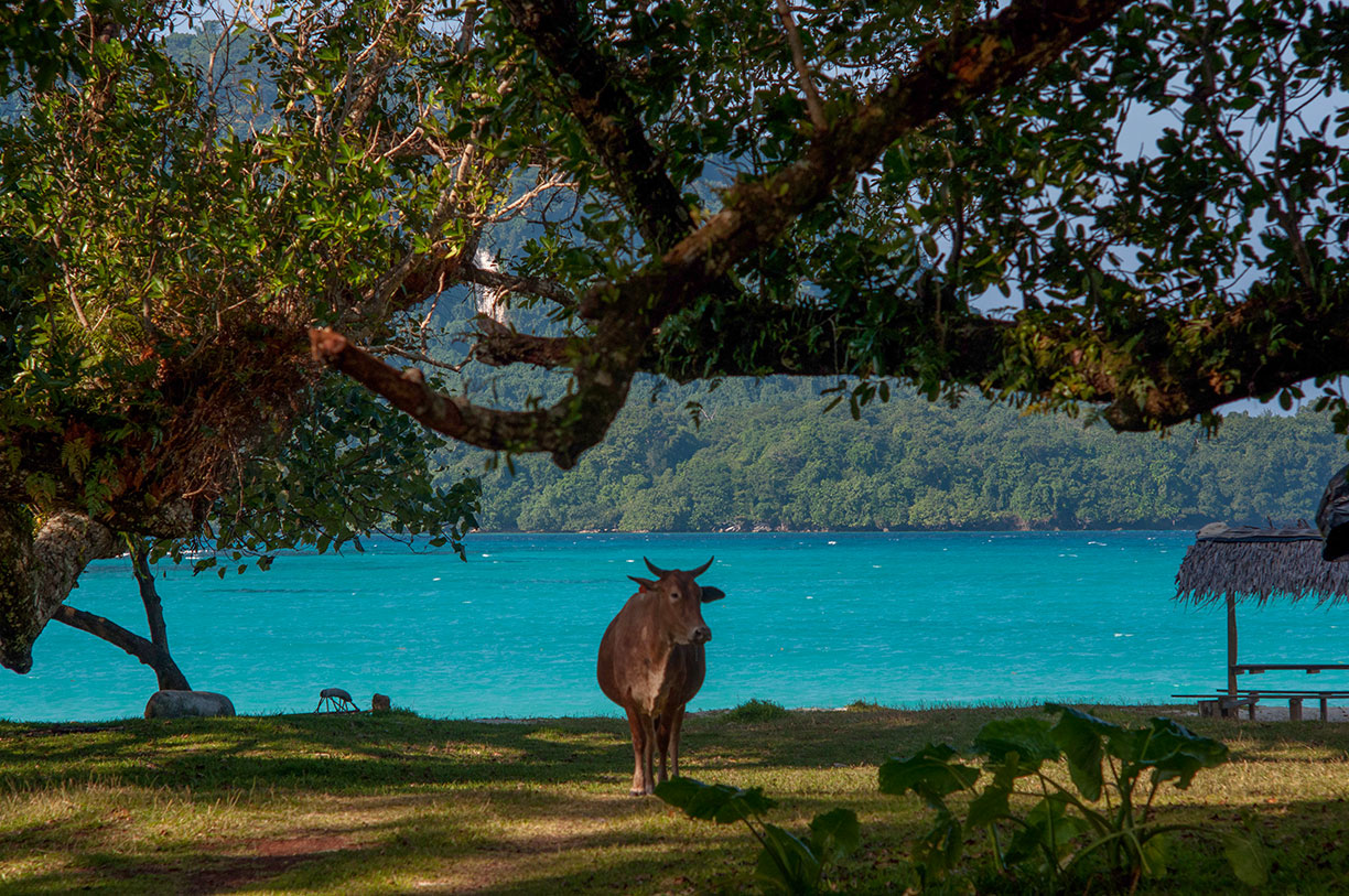
 Quiet Days in Espiritu Santo island, Vanuatu.
Image: Graham Crumb
The roughly Y-shaped archipelago consists of four or five main islands and about 80 smaller ones. The largest islands are Espiritu Santo and Malakula. The center of the nation is the island of Efate, where the capital is located. The island area of Vanuatu extends over 1300 km, and it belongs to Melanesia, a subregion of Oceania.
The archipelago is one of the most active volcanic regions on earth. The highest point is Mount Tabwemasana on the island Espíritu Santo; it is also one of the highest mountains in the Pacific with a prominence of 1879 m.
Capital and largest city of Vanuatu is
Port Vila, the island nation's most important harbor and trade center. The town is situated on the island of Éfaté and has a population of about 40,000 people. Spoken
languages in the country are Bislama, an English-based creole language, English, French, and various Austronesian languages.
The map shows a map of Vanuatu archipelago with main islands and towns and the location of Bauerfield International Airport (
IATA Code: VLI) and Ulei Airstrip (
IATA Code: ULB).
To find a location use the form below.


