Nations Online
All Countries in the World
Nations Online All Countries in the World | |
| Home Map Index  |
___ Administrative Map of Sierra Leone |
| Map is showing Sierra Leone, a country on the coast of West Africa with international borders, provincial boundaries, the national capital Freetown, provincial capitals, cities and towns, main roads and major airports. Click on the map to see a detailed map of Sierra Leone. 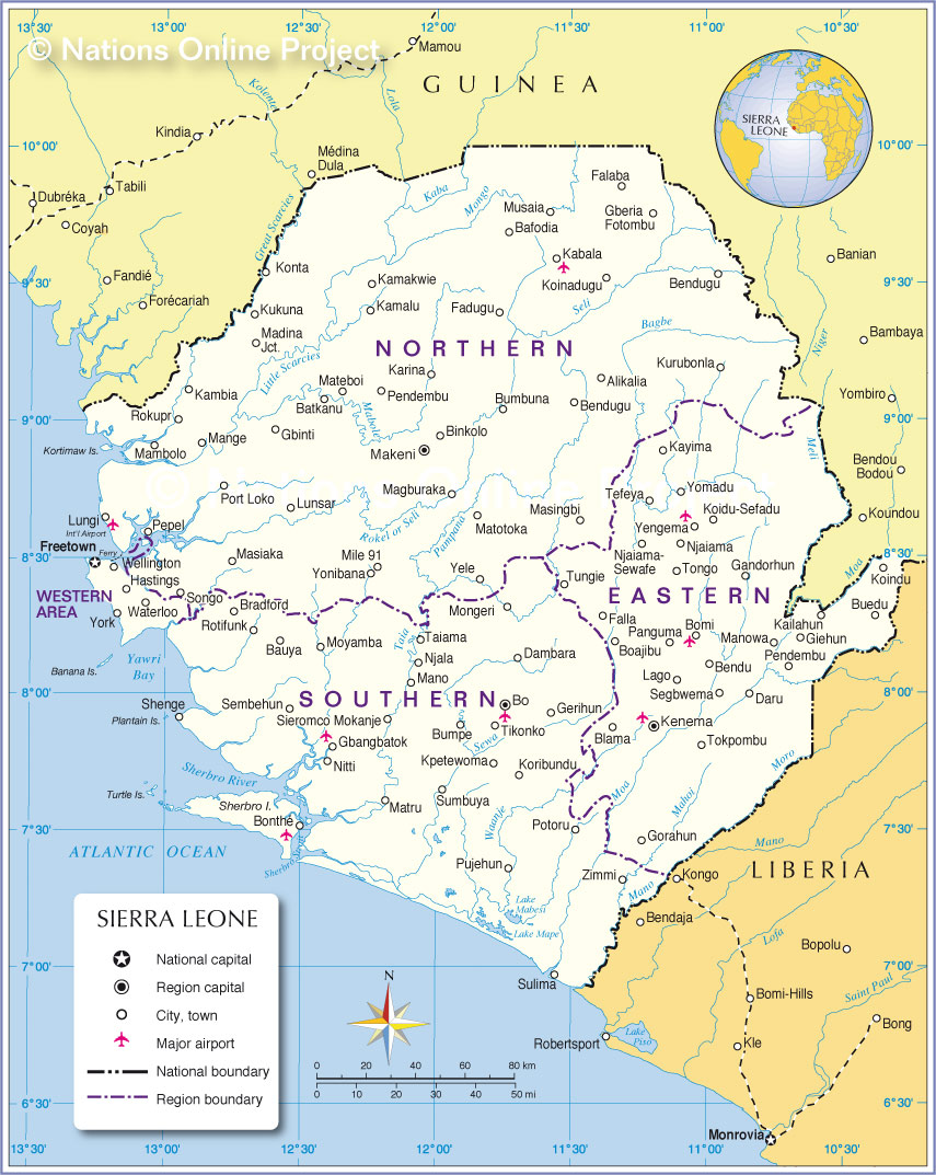 Administrative Map of Sierra Leone Sierra Leone is divided into four principal divisions: three provinces and the Western Area on the Freetown Peninsula. Sierra Leone provinces (province capitals in parenthesis): The Eastern Province (Kenema), Northern Province (Makeni), Southern Province (Bo), and the Western Area (Freetown) See a list of Sierra Leone's cities and towns in |
One World - Nations Online .:. let's care for this planet Made to improve cross-cultural understanding, global awareness, and cultivating a cosmopolitan consciousness. |
 |
|
| Site Map
| Information Sources | Disclaimer: Privacy Policy, etc. | Contact:
[email protected]
Copyright © 1998-2017 :: nationsonline.org | ||