Advertising

American Samoa Flag detail
Home Earth Continents Australia/Oceania Oceania Map American Samoa
All Countries


Country Profile Government Maps News Culture Business Tourism Education Environment History Native Info

American Samoa


Rose Island atoll, American Samoa
Rose Island, an atoll off the coast of American Samoa.
Image: Dr. Jean Kenyon, NOAA

 
Location map of American Samoa. Where in the world is American Samoa?
Location map of American Samoa


American Samoa Flag
Flag of American Samoa

Destination American Samoa, a Nations Online profile of the archipelago in the South Pacific, a group of seven islands and atolls, with the main island of Tutuila. American Samoa is an unincorporated overseas territory of the United States. The island territory shares maritime borders with Samoa, Tonga, Cook Islands (New Zealand), Niue (New Zealand), and Tokelau (New Zealand).

It is the United States' only territory south of the equator. The archipelago is situated east of the island of Samoa, about 4,200 km (2,600 mi) southwest of Hawaii, (Western Samoa) and 1,200 km northeast of Fiji.

With an area of 199 km² American Samoa is about three-quarters the size of Malta, or slightly larger than Washington, DC.
American Samoa has a population of 57,000 (in 2021), [1] the capital town is Pago Pago on the island of Tutuila. Spoken languages are Samoan 89% (closely related to Hawaiian and other Polynesian languages), English 4%, and Tongan.

 
American Samoa | Amerika Sāmoa


More about American Samoa

American Samoa is a small island group in the South Pacific. It consists of five volcanic islands, Tutuila, Ta'u, Ofu, Olosega, Aunu'u, and Nu'utele, and two coral atolls, Swains and Rose Islands. Tutuila covers about two-thirds of the total area and is home to 95% of the 50,000 islanders.
In the period around 1000 BC, Southeast Asian immigrants came to the Samoan Islands, and from there, they settled the rest of Polynesia.

The first sparse contacts with Europeans began in the early 18th century and were intensified with the arrival of English missionaries and traders in the 1830s.
International rivalries had been settled by the Treaty of Berlin in 1899, in which Germany and the USA divided the Samoan archipelago. The USA formally occupied their part.

A unique cultural feature of the entire archipelago is the coexistence of modern American lifestyle and Samoan traditions, which are related to the language, clothing, food, customs, and even properties.

Closely related countries are Samoa, New Zealand, and the US.


Country Profile


Official Name:
Territory of American Samoa
short form: American Samoa
conventional short form: American Samoa
abbreviation: AS

ISO Country Code: AS, ASM

Time:
Local Time = UTC -11h
Actual Time: Sun-Mar-17  22:11

Country Calling Code: +1 684

Capital City: Pago Pago on the island of Tutuila.

...show more


Official Sites of American Samoa

Note: External links will open in a new browser window.

American Samoain Governor's Mansion in Pago Pago
The American Samoa Government House, also known as Governor's Mansion, is located on the Togotogo Ridge above Pago Pago Harbor.
Image: ROY G. KLOTZ, M.D.


The archipelago is an Unorganized US Territory, an area that does not belong to any US state and therefore has no self-administration. But in fact, Samoa has a form of self-government with a parliament, the American Samoa Fono.
The USA administers the islands through the Office of Insular Affairs (OIA), a unit of the US Department of the Interior.


Government of American Samoa
The Official Website for the Government of American Samoa.

US Office of Insular Affairs
OIA is the coordinating agency that oversees the federal administration in American Samoa and other American insular territories.

Diplomatic Missions
U.S. Embassies around the world
U.S. representations in foreign countries, links to the American embassies.

Weather
National Weather Service Pacific Region


Maps of American Samoa


American Samoa Map
Map of Tutuila, American Samoa (click map to enlarge)
Image: © nationsonline.org


Maps


Tutuila Map
Detailed map of the largest and most populous island of American Samoa.

Google Earth Google Earth American Samoa
Searchable map/satellite view of American Samoa.
Google Earth Google Earth Pago Pago
Searchable map/satellite view of American Samoa's capital.

Map of Polynesia
Map of the countries in Polynesia, the island states in the eastern part of Oceania.
profile Map of Oceania and the Pacific Islands
Reference map of Australia/Oceania.


News of American Samoa


Newsstand

Online News from American Samoa


Samoa News
Samoa's daily newspaper online.

Samoa Observer 
Latest breaking news articles, photos, etc. from (Western)Samoa.

South Seas Broadcasting
Radio Station in Pago Pago.


Arts & Culture of American Samoa


Blouse of bark cloth, Samoa
Blouse of barkcloth, Samoa, 1888 (Ethnological Museum, Berlin). Barkcloth is made from the fibrous inner bark of trees, a versatile material that was once common in Asia, Africa, and the Pacific.
Image: Daderot


Arts & Culture


Fa'asamoa
Fa'a Samoa means the Samoan way - the way of our ancestors, a Samoan chieftain system of hereditary ranks rules the Samoan society in almost every aspect.

Siapo.com
Siapo, also known as tapa, a symbol of Samoan culture, is one of the oldest Samoan cultural art forms; the site also shows Siapo artists and artworks.

Polynesian Cultural Center
The portal to Polynesian culture is located on Oahu island, Hawaii.


Business & Economy of American Samoa


Canned tuna
Image: Ben Miller


American Samoa has a traditional Polynesian economy in which more than 90% of the land is communally owned. The island's economic activity is strongly linked to the US, with which American Samoa conducts most of its commerce. Tuna fishing and tuna processing plants are the backbone of the private sector with canned tuna as the primary export. The two tuna canneries account for 80% of employment.


American Samoa Government's Department of Commerce
DOC is responsible for the management of economic development and environmental protection for the Territory of American Samoa.


Transportation
Samoa Airways
The flag carrier airline of Samoa.

Inter Island Airways, Inc
American Samoan charter airline.

Samoa Shipping Corporation
Ferry and marine shipping.


Tourism in American Samoa


Afono Bay, Tutuila island
Afono village, located on the edge of Afono Bay, Tutuila island.
Image: NPS


Destination American Samoa - Travel and Tour Guides


Advertisement

Discover American Samoa: Tutuila, Ta'u, Ofu, Olosega, Aunu'u, Nu'utele, Manu'a, Swains, and Rose Islands.
Accommodation, hotels, attractions, festivals, events, tourist boards, biking, hiking, boating, cruising, scuba diving, and much more.


American Samoa
The territory's official tourism site by American Samoa Visitors Bureau.

American Samoa Travel Information
A travel guide for American Samoa.

National Park of American Samoa
The National Park Service for American Samoa.

Pago Pago
Tourism and Things To Do in Pago Pago.

Pago Pago Marine Charters
Game Fishing, Diving, and Tours.

Wikivoyage Logo Wikivoyage: American Samoa
The free worldwide travel guide to American Samoa.


South Pacific
South Pacific Tourism Organisation
Inter-governmental body for the tourism sector in the South Pacific Islands, find information on accommodation, activities, online bookings, and news.
 

Panorama of Forbidden Bay near Fagasa, American Samoa
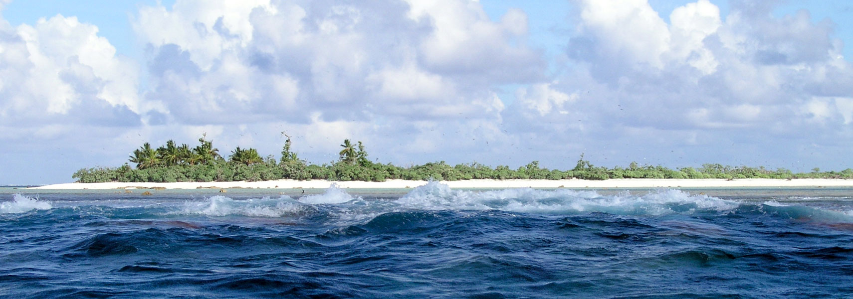
Panorama of Forbidden Bay near Fagasa, a village in Tutuila.
Image: Eddy23


Education in American Samoa


American Samoa Community College
Image: ASCC


American Samoa Community College - ASCC
ASCC was established in 1970 to provide post-secondary education opportunities in the liberal arts, teacher training, vocational-technical education, and general education to the residents of American Samoa.

Pacific Horizons School (PHS)
A private, K-12 school located on the tiny island of Tutuila.

Samoana High School
SHS is a senior high school in Utulei


Environment & Nature


Pola Islands from Tutuila rainforest
View toward Pola Islands from Tutuila rainforest, American Samoa.
Image: National Park of American Samoa

American Samoa National Park
The park contains two rain forest preserves and a coral reef.

Fagatele Bay National Marine Sanctuary
Information on the coral reef ecosystem nestled within an eroded volcanic crater on the island of Tutuila.

National Marine Sanctuary of American Samoa
The sanctuary protects extensive coral reefs, including some of the oldest and largest Porites coral heads in the world.

Natural History Guide to American Samoa
This collection of articles provides a glimpse into the marine and wildlife resources in American Samoa's tropical, oceanic environment.

Samoa Observatory
Climate Monitoring and Diagnostics Laboratory, Cape Matatula.

South Pacific Regional Environment Programme (SPREP)
The Pacific region's major intergovernmental organization charged with protecting and managing the environment and natural resources.


American Samoa History


Samoan village on the Manu’a Island Group
Samoan village on the Manu’a Island Group (between 1890 and 1910).
Photo: Thomas Andrew (1855–1939)


American Samoa Historic Preservation Office (ASHPO)
The office protects American Samoa's historic and cultural properties.

Wikipedia W History of Amerika Samoa
Wikipedia: History of American Samoa and the Samoan islands.

The Polynesian Voyaging Society (PVS)
How Polynesian seafarers discovered and settled nearly every inhabitable island in the Pacific Ocean before European explorers arrived in the 16th century. The Polynesian Voyaging Society seeks to restore the ancient tradition of non-instrument navigation on the open ocean.


Indigenous People of American Samoa


Kava ('ava) makers (aumaga) of Samoa
'Ava (kava) ceremony. The 'Ava ceremony is one of the essential traditional customs of the Samoan Islands.
Image: Unknown author


The indigenous Polynesian people of Samoa are known as Samoans; they speak Samoan, a Polynesian language. Legend has it that Savaiʻi, the largest and highest island of Samoa, is the original home of the Polynesians.


Samoans
Wikipedia entry for Samoan people.

World Directory of Minorities and Indigenous Peoples - Samoa
Some information about minorities and indigenous peoples of Samoa.


Additional Information


Advertisement

Office of Insular Affairs: American Samoa
The OIA oversees federal administration of several United States insular areas.

Wikipedia W Wikipedia: American Samoa
Wikipedia's American Samoa page in many languages.


The World Factbook -- American Samoa
The CIA World Factbook about American Samoa. 


Other Political Divisions of the United States:
US States | American Samoa | Guam | Northern Mariana Island | Puerto Rico | US Virgin Islands

Other island territories and states in the South Pacific:
Fiji | Kiribati | New Caledonia | Papua New Guinea | Samoa | Solomon Islands | Tahiti | Tonga | Tuvalu | Vanuatu
up