Home Maps World Map World Map (3000px)

___ Political Map of the World

Political Map of the World showing independent states, dependencies or areas of special sovereignty, islands and island groups as well as the national capitals and major cities.
Nations Online Logo
One World - Nations Online
the countries of the world  
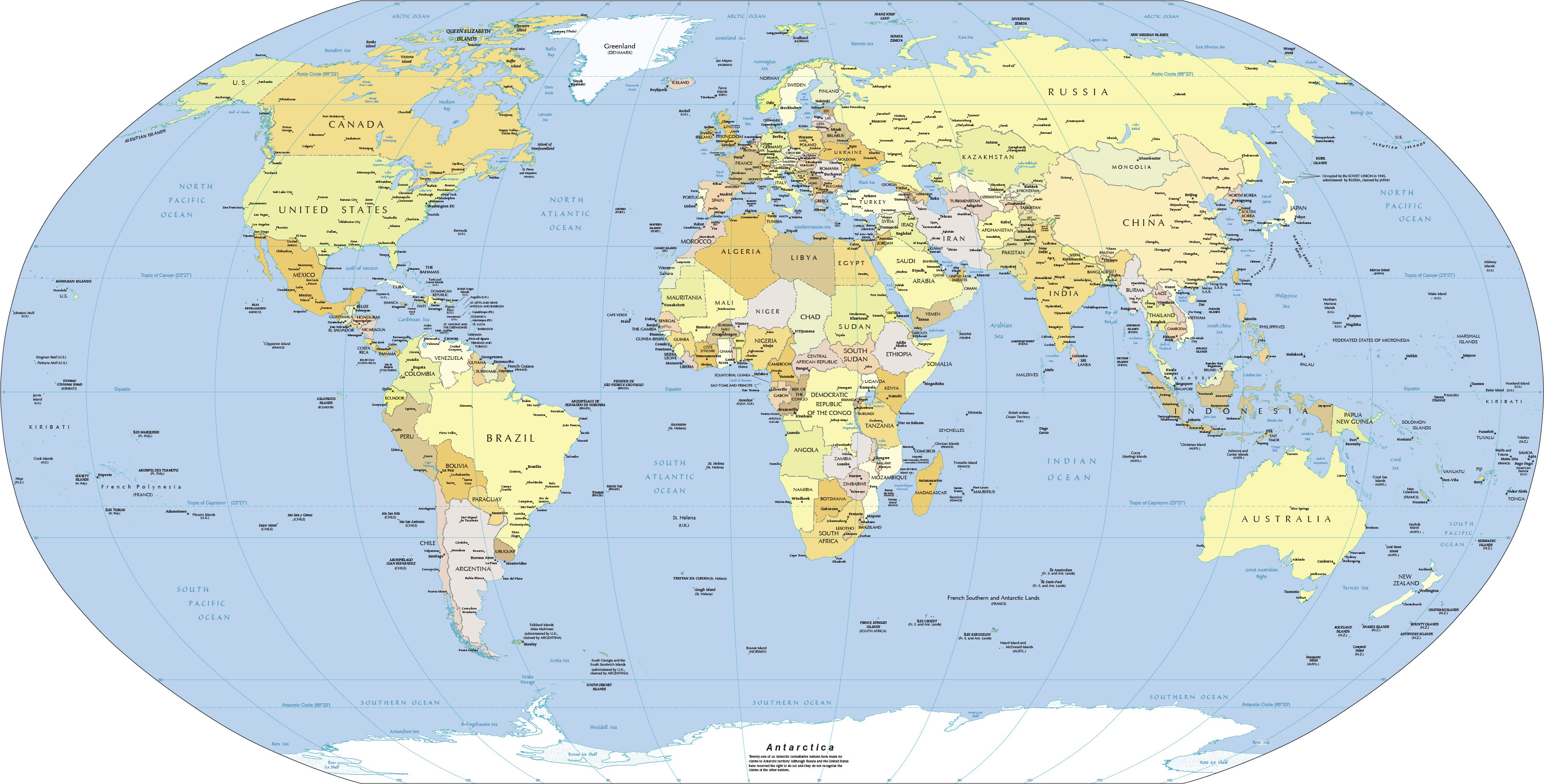
Political Map of the World


More about the World:

Earth

Physical Map of the World

The World by Countries

Google Map of Earth 
Continents:

World Continents 
Map of the Continents

The Americas

Political Map of North America
Physical Map of North America

Map of South America
Map of Central America and the Caribbean

Africa

Map of Northern Africa and the Middle East
Map of Africa
Google Earth Map of Africa

Asia


Map of Southeast Asia
Map of Western Asia and the Middle East
Map of Asia
Australia/Oceania

Map of Australia/Oceania
Map of Melanesia
Map of Micronesia  
Map of Polynesia

Europe

Political Map of Europe

Antarctica
Map of Antarctica
Related Consumer Information:

  Share:
Bookmark/share this page
Instagram


One World - Nations Online .:. let's care for this planet
Made to improve cross-cultural understanding and global awareness.
 
Site Map | Information Sources | Disclaimer: Privacy Policy, etc.
Contact: [email protected] | Copyright © 1998-2015 :: nationsonline.org