Nations Online
All Countries in the World
Nations Online All Countries in the World | |
Home  |
___ Political Map of Angola |
| Map is showing states borders, provincial boundaries, the national capital Luanda, provincial capitals, cities, main roads, railroads and major airports. 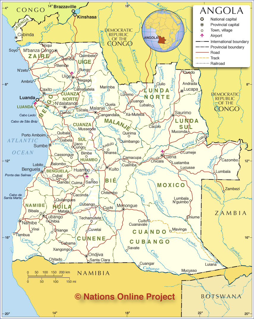 Political Map of Angola |
One World - Nations Online .:. let's care for this planet Promote that every nation assumes responsibility for our world. Nations Online Project is made to improve cross-cultural understanding and global awareness. More signal - less NOISE |
| Site Map
| Information Sources | Disclaimer | Copyright © 1998-2024:: nationsonline.org |