Nations Online
All Countries in the World
Nations Online All Countries in the World | |
Home  |
___ Satellite View and Map of the capital town of Palikir, Federated States of Micronesia (FSM) |
Searchable Map and Satellite View of Palikir using Google Earth DataSatellite view is showing Palikir, the national capital of thePalikir has a population of about 5,700 residents, 26,000 people live on Pohnpei island. Spoken languages are Pohnpeian or Ponapean, and English. The map shows Palikir (the national governmental center or capital) on the island Pohnpei with main roads and streets, zoom out to find the location of Pohnpei International Airport (IATA code: PNI), about 9 km (6 mi) northeast of Palikir, in central north of the island. To find a location use the form below. | 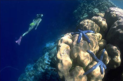 Snorkeling at Pohnpei Reefs - Photo © FSM Visitors Board Bookmark/share this page |
| To find a location type: street or place, city, optional: state, country. | Local Time Pohnpei:
Wednsday-June-10 01:17
UTC/GMT +11 hours |
|
φ Latitude, λ Longitude (of Map center; move the map to see coordinates): , |
||||||
| Google Earth: Searchable Map and Satellite view of Palikir, Federated States of Micronesia (FSM). |
||||||
| City Coordinates: 6°55′04″N 158°11′06″E |
||||||
| More about Micronesia: Island Nation: Continent: External Link Wikipedia: Palikir | Current Weather Conditions Pohnpei
|
Related Consumer Information:
|
||||
Other Micronesian Island Nations: Guam, Hawaii, Kiribati, Marshall Islands, Nauru, Northern Mariana Islands, Palau |
||||||
Map Help [ show ] |
||||||
One World - Nations Online .:. let's care for this planet Promote that every nation assumes responsibility for our world. Nations Online Project is made to improve cross-cultural understanding and global awareness. More signal - less NOISE |
| Site Map
| Information Sources | Disclaimer | Copyright © 1998-2024:: nationsonline.org |

