Nations Online
All Countries in the World
|
One Planet Nations Online All Countries in the World | |
Home  |
___ Satellite View and Map of Fiji |
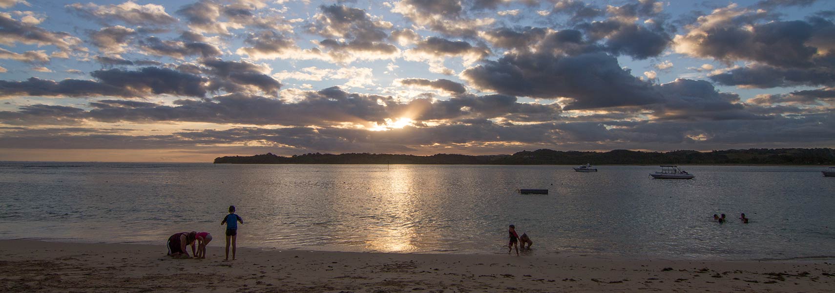
 Sunset at Cuvu beach on Viti Levu, Fiji. Image: Maksym Kozlenko |
About Fiji Satellite view is showing the island group in the South Pacific Ocean. Fiji consists of a group of more than 300 islands, some claim that there are more than 800 islands, of which about a hundred are inhabited. The two main islands are Viti Levu and Vanua Levu. Satellite view is showing the island group in the South Pacific Ocean. Fiji consists of a group of more than 300 islands, some claim that there are more than 800 islands, of which about a hundred are inhabited. The two main islands are Viti Levu and Vanua Levu.Capital city of Fiji is Suva on the island of Viti Levu. Spoken languages are English (official), Fijian, and Hindi. First visited by Abel Tasman in 1643, the Fiji Islands became a British Crown Colony in 1874 and independent within the Commonwealth of Nations in 1970. In 1987, following a coup, Fiji became a republic and withdrew from the Commonwealth. Other Melanesian islands: New Caledonia, Papua New Guinea, Solomon Islands, and Vanuatu. The map shows Fiji with cities, towns, main roads and streets. To find a location use the form below. |
||
| To find a location type: street or place, city, optional: state, country. |
Local Time Fiji:
Thursday-April-18 08:36
Standard Time Zone UTC/GMT +12 hoursSummer (DST from October until March 6, 2011) UTC/GMT +13 hours |
|
|
φ Latitude, λ Longitude (of Map center; move the map to see coordinates): , |
||||||
| Google Maps: Searchable Map of the Republic of the Fiji Islands. |
Bookmark/share this page
|
|||||
| More about Fiji: Cities: Country: Continent: |
Fiji Weather Conditions |
Related Consumer Information:
|
||||
Island States and Territories of Melanesia Fiji | New Caledonia | Papua New Guinea | Solomon Islands | Vanuatu Countries and territories of Australia/Oceania Continents: Africa | The Americas | Asia | Europe |
||||||
One World - Nations Online .:. let's care for this planet Promote that every nation assumes responsibility for our world. Nations Online Project is made to improve cross-cultural understanding and global awareness. More signal - less NOISE |
| Site Map
| Information Sources | Disclaimer | Copyright © 1998-2023 :: nationsonline.org |