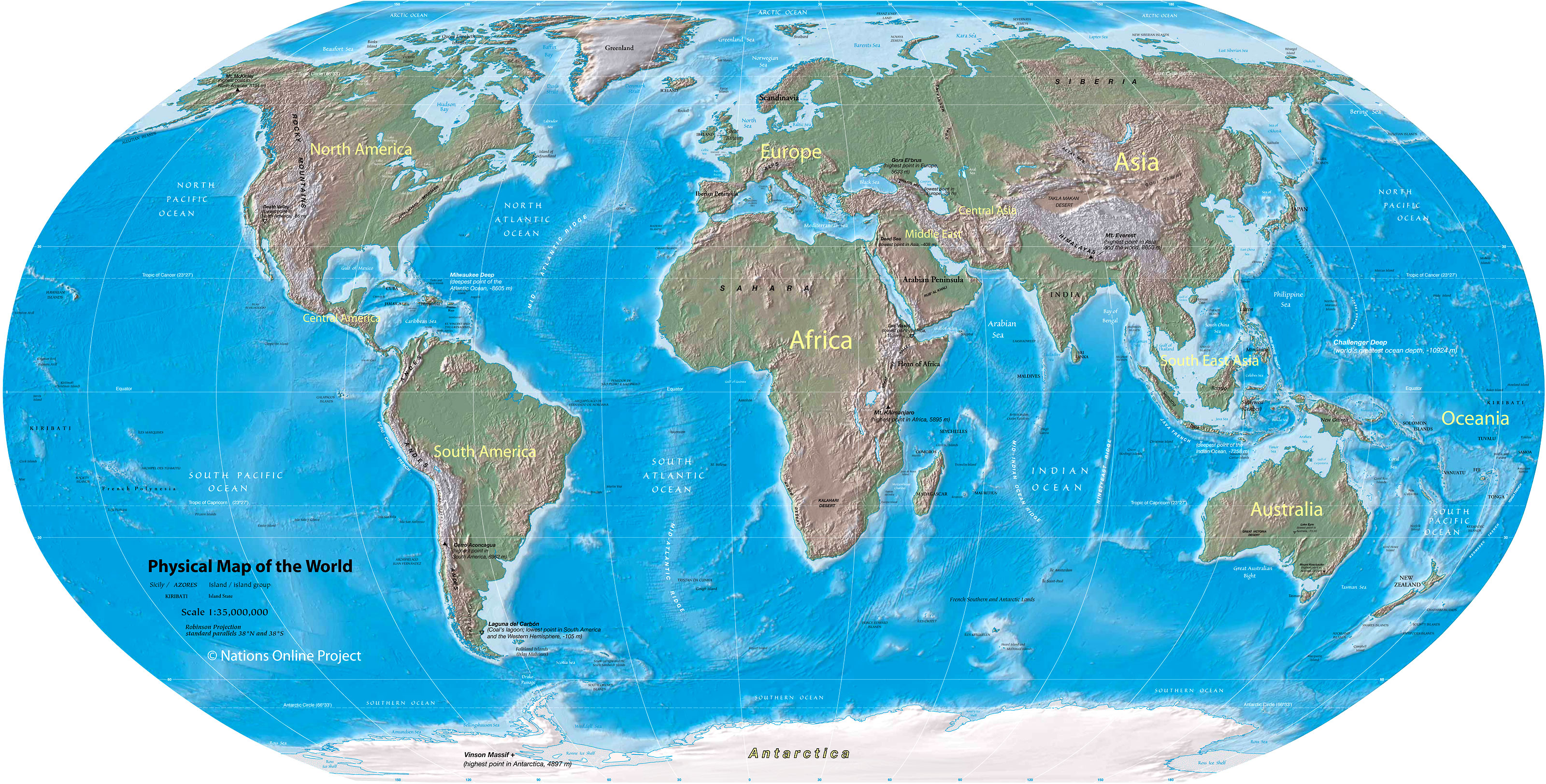
___ Physical Map of the World
The image below is a very very scaled down and distorted representaion of planet earth, showing its landmasses and bodies of water.
The picture lets you imagine the dephts and the offshore shoal areas of its oceans and the elevations and hollows of its landscapes.
It also shows the names of the diverse regions of the planet on which its inhabitants have agreed on by convention over a period of some centuries.

One World - Nations Online
the countries of the world