Nations Online
All Countries in the World
|
One Planet Nations Online All Countries in the World | |
Home  |
___ Satellite View and Map of the City of Santiago (Santiago de Chile) |
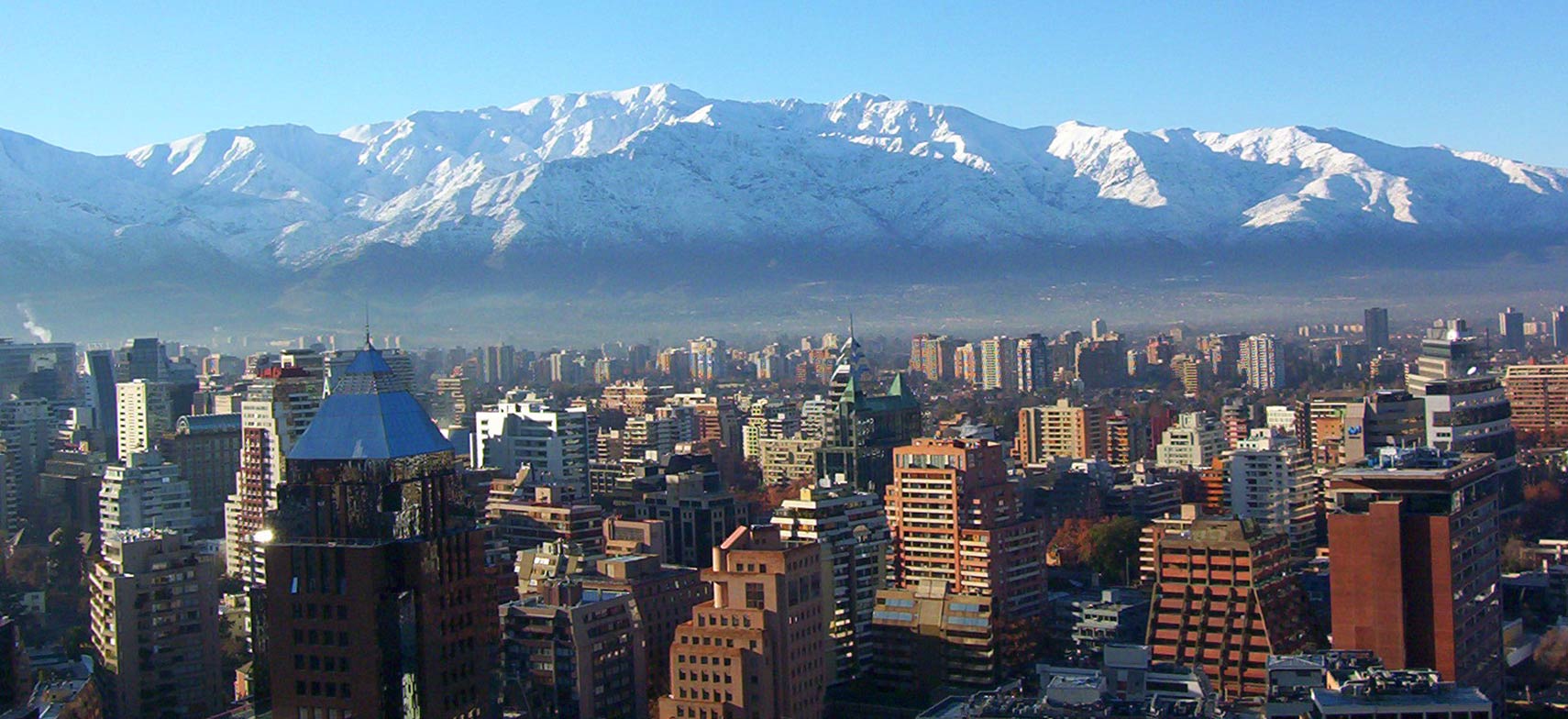
 Santiago de Chile in Winter with the Andes in background. Photo: victor san martin |
About Santiago-Coat-of-Arms.jpg) Satellite view is showing Santiago, largest city and the national capital of Satellite view is showing Santiago, largest city and the national capital of The city has a population of about 6 million inhabitants, 7 million live in Santiago’s greater metropolitan area (Greater Santiago). Official language is Spanish. Some points of interest in the city are: La Moneda Palace (seat of the President), Plaza de Armas (main square), San Cristóbal Hill in Santiago's Metropolitan Park, Chilean National Zoo, Museo Chileno de Arte Precolombino, Chilean National Museum of Fine Arts, and Santiago Museum of Contemporary Art. Estación Mapocho (cultural center) and Santa Lucía Hill. Santiago is in Lonely Planet’s list of Best in Travel: Top 10 cities for 2012. The city is described as: "Calamity came calling to Chile, first through an 8.8-magnitude earthquake and later when 33 miners were trapped in the country’s north. With the world watching, Chile displayed its defiant optimism, and these experiences have seemed to ignite a seismic shift in the capital. Culture and sports have come to the fore and new museums have opened to acclaim. Dining is now top-notch, nightlife exhilarating and this year also marks the inauguration of the tallest building on the continent, the 70-storey Torre Gran Costanera. Day trippers can scale an Andean peak in summer, ski its powder-clad slopes in July, or cycle through the idyllic vineyards of the Casablanca, Maipo and Colchagua valleys. Visit Santiago and you’ll feel the buzz". The map shows a city map of Santiago de Chile with expressways, main roads and streets, zoom out to find the location of Arturo Merino Benítez International Airport (IATA code: SCL). To find a location use the form below. |
|
| To find a location type: street or place, city, optional: state, country. |
Local Time Santiago:
Friday-April-19 10:45
Standard time zone: UTC/GMT -4 hoursDaylight Saving Time (DST), from October 2010 until April 2011 UTC/GMT -3 hours |
|
φ Latitude, λ Longitude (of Map center; move the map to see coordinates): , |
||||||
| Google Earth: Searchable Map and Satellite view of Santiago, Chile. City Coordinates: 33°27′0″S 70°40′0″W |
Bookmark/share this page
|
|||||
| More about Chile: Country: Chile key statistical data. Continent: External Links Santiago (official website) Wikipedia: Santiago |
Weather Conditions Santiago: |
Related Consumer Information:
|
||||
Other Cities in South America: Asunción (Paraguay) - Bogotá D.C. (Colombia) - Brasilia, Rio de Janeiro, São Paulo, Salvador, (all Brazil) - Buenos Aires (Argentina) - Caracas (Venezuela) - Cayenne, Kourou (both French Guiana) - Georgetown (Guyana) - La Paz, Sucre (both Bolivia) - Lima (Peru) - Montevideo (Uruguay) - Paramaribo (Suriname) - Port of Spain (Trinidad and Tobago) - Quito (Ecuador) |
Map Help [ show ]  |
One World - Nations Online .:. let's care for this planet Promote that every nation assumes responsibility for our world. Nations Online Project is made to improve cross-cultural understanding and global awareness. More signal - less NOISE |
| Site Map
| Information Sources | Disclaimer | Copyright © 1998-2023 :: nationsonline.org |