Nations Online
All Countries in the World
|
One Planet Nations Online All Countries in the World | |
Home  |
___ Satellite View and Map of Palau (Beluu er a Belau) |
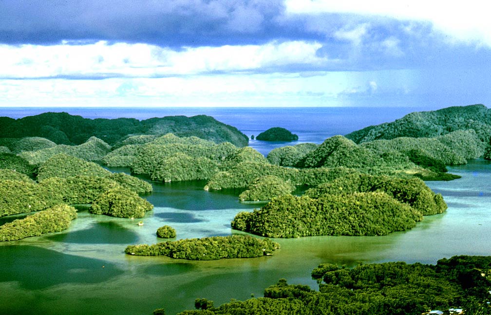
About Palau Aerial view of Western Caroline Islands showing uplifted limestone islands, Palau's "Rock Islands". Image: Dr. James P. McVe, NOAA  Satellite view is showing the Micronesian group of islands in the Western Pacific Ocean, southeast of the Philippines and north of West Papua, Indonesia. Palau is an independent republic since 1990. It was part of the Pacific Islands Trust Territory administered by the United States. Satellite view is showing the Micronesian group of islands in the Western Pacific Ocean, southeast of the Philippines and north of West Papua, Indonesia. Palau is an independent republic since 1990. It was part of the Pacific Islands Trust Territory administered by the United States.The archipelago of the Western Caroline Islands chain has a population of about 21,000 people spread across 250 islands. Capital city of Palau is Ngerulmud in Melekeok state. Just zoom in to see Koror, Palau's most populous island and main commercial center. The map shows Palau with cities, towns, main roads and streets. To find a location use the form below. |
|
| To find a location type: street or place, city, optional: state, country. |
Local Time Palau:
Friday-April-19 11:00
Time zone: Palau Time (PWT) :: UTC/GMT +9 hours |
|
φ Latitude, λ Longitude (of Map center; move the map to see coordinates): , |
||||||
| Google Maps: Searchable map/satellite view of the Republic of Palau. |
Bookmark/share this page
|
|||||
| More about Palau: Cities Country: Continent: |
Weather Conditions Palau: |
Related Consumer Information:
|
||||
Other Micronesian islands: Guam, Kiribati, Marshall Islands, Micronesia, Nauru, and Northern Mariana Islands. |
||||||
One World - Nations Online .:. let's care for this planet Promote that every nation assumes responsibility for our world. Nations Online Project is made to improve cross-cultural understanding and global awareness. More signal - less NOISE |
| Site Map
| Information Sources | Disclaimer | Copyright © 1998-2023 :: nationsonline.org |