Nations Online
All Countries in the World
Nations Online All Countries in the World | |
Home  |
___ Satellite View and Map of Guam |
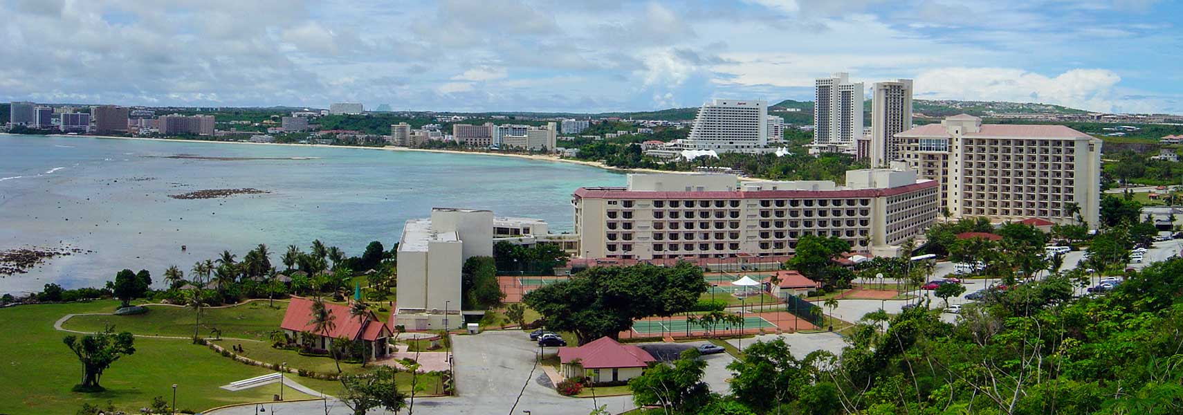 Tumon Bay on Guam is the center of Guam's tourist industry. Image: David Burdick, NOAA Photo Library |
About Guam Satellite view is showing the island in the western Pacific Ocean, southwest of Rota one of the islands of the Northern Mariana Islands. Guam is situated about 2,100 km (1300 mi) east of the Philippines and about 1800 km (1,100 mi) north of Papua New Guinea. Satellite view is showing the island in the western Pacific Ocean, southwest of Rota one of the islands of the Northern Mariana Islands. Guam is situated about 2,100 km (1300 mi) east of the Philippines and about 1800 km (1,100 mi) north of Papua New Guinea.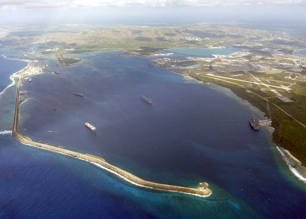 Apra Harbor, the deep-water port on the western side of Guam. On the southern end of the harbor is the location of the U.S. Naval Base Guam. Naval Base Guam supports the U.S. Pacific Fleet. The Marianas were inhabited by Austronesian Chamorro people, who immigrated most likely at some point between 4000 BC and 2000 BC from Southeast Asia. They evolved into a society with a caste system. When Portuguese explorer Ferdinand Magellan arrived at the Marianas in 1521, he landed on Guam and claimed the archipelago for Spain. Guam is an organized unincorporated territory of the US, its capital is Hagåtña. With an area of 549 km² (212 sq. mi) the island is about the size of Hongkong, and it is the largest single island in Micronesia. Guam has a population of 159,000 people (2010 census). The main ethnic groups are the Chamorro, the indigenous people of the Mariana Islands with 39%, and Filipinos with about 26%. The map shows Guam with cities, towns, expressways, main roads and streets. To find a location use the form below. |
| To find a location type: street or place, city, optional: state, country. |
Local Time Guam:
Friday-April-19 03:44
Time zone: Chamorro Standard Time (ChST) UTC/GMT +10 hours |
|
φ Latitude, λ Longitude (of Map center; move the map to see coordinates): , |
||||||
| Google Maps: Searchable Map of Guam. |
Bookmark/share this page |
|||||
| More about Guam: Cities: Territory: Continent: |
Weather Conditions Hagåtña
|
Related Consumer Information:
|
||||
Other Micronesian Island Nations: Hawaii, Kiribati, Marshall Islands, Micronesia (Federated States of), Nauru, Northern Mariana Islands, Palau Countries and territories of Australia/Oceania |
||||||
Map Help [ show ] |
||||||
One World - Nations Online .:. let's care for this planet Promote that every nation assumes responsibility for our world. Nations Online Project is made to improve cross-cultural understanding and global awareness. More signal - less NOISE |
| Site Map
| Information Sources | Disclaimer | Copyright © 1998-2023 :: nationsonline.org |

