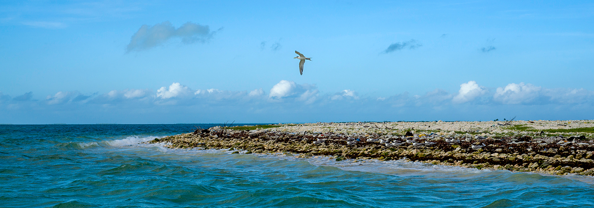
About Kiritimati
Satellite view and map of Kiritimati (pronounced "Ki-ris-mas"), the largest atoll in the world. The island was formerly known (until 1981) as Christmas Island. Kiritimati is one of the Line Islands, a chain of atolls and coral islands on both sides of the equator in the central Pacific Ocean, 2,000 km (1,250 mi) south of
Hawaii.
 Location of Kiritimati. The distance between Kiritimati and Hawaii is 2,000 km (1,250 mi).
Image: kk; map based on a Google map.
Location of Kiritimati. The distance between Kiritimati and Hawaii is 2,000 km (1,250 mi).
Image: kk; map based on a Google map.
The Line Islands are one of the three archipelagos which constitute the island nation of
Kiribati; the other island groups are the Gilbert Islands, the Phoenix Islands, and the island of Banaba (Ocean Island). The 33 raised coral atolls are scattered over a vast area. 3,300 km (2,000 mi) of open sea lie between
Tarawa, the capital, and Kiritimati.
There are four villages on Kiritimati, Tabwakea, London, Poland, and Banana. The old settlement of Paris is abandoned.
In 1777 on Christmas Eve Captain Cook 'discovered' the island, named the atoll Christmas Island and claimed it for Britain.
Captain Cook's career ended a good year later in Hawaii; he was killed in a skirmish with indigenous people in February 1779. But the British occupation lasted over 200 years until 1979 when Kiribati became independent.
Kiritimati was the site of several nuclear tests in 1962 (Operation Dominic).
The map shows Kiritimati with main roads and streets and the location of the island's Cassidy International Airport (
IATA code: CXI).
To find a location use the form below.