Nations Online
All Countries in the World
Nations Online All Countries in the World | |
Home  |
___ Satellite View and Map of Argentina |
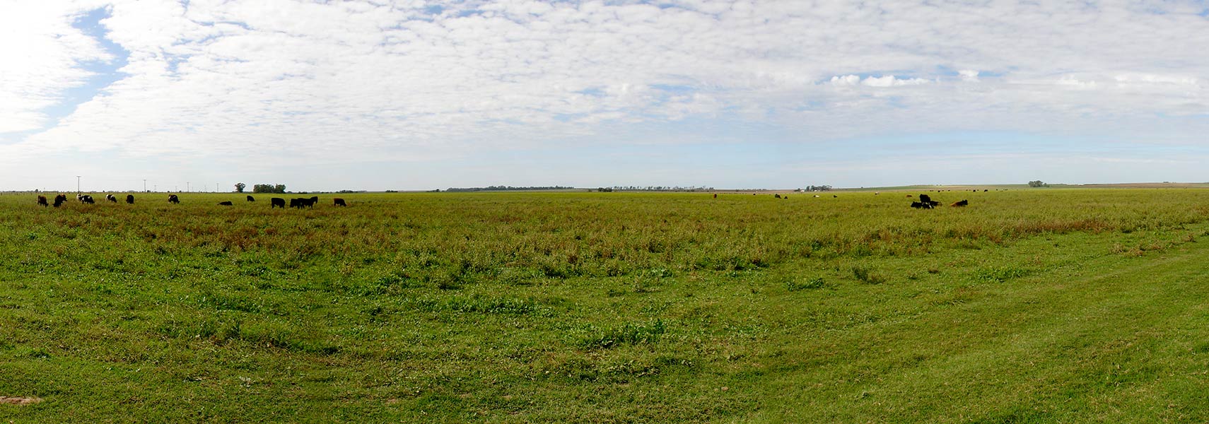 Grazing land in Conhelo Department, La Pampa Province, Argentina. Grazing land in Conhelo Department, La Pampa Province, Argentina.Image: Maximiliano Alba |
About Argentina
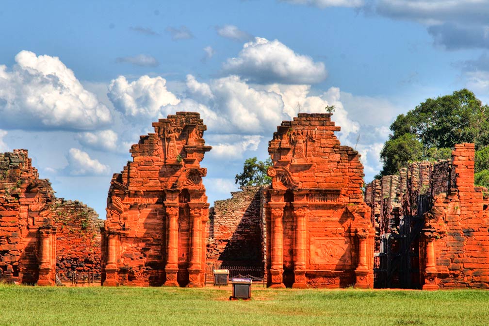 Ruins of San Ignacio Mini, the Jesuit Missions of the Guaranis: San Ignacio Mini, Santa Ana, Nuestra Señora de Loreto and Santa Maria Mayor, are a UNESCO World Heritage Site Image: Juan Argentina has a population of 43.5 million people (2016 est.), capital and largest city is Buenos Aires. Other major cities are: Córdoba, Rosario, Mendoza, San Miguel de Tucumán, La Plata, Mar del Plata, Salta and Santa Fe de la Vera Cruz. Official language in the country is Spanish. The nearby Falkland Islands (Spanish: Islas Malvinas), an archipelago of some 700 islands east of Patagonia, are a British overseas territory, claimed by Argentina. The map shows Argentina with cities, towns, expressways, main roads and streets. To find a location use the form below. |
||
| To find a location type: street or place, city, optional: state, country. |
Local Time Argentina:
Tuesday-April-23 14:08
Time zone: Argentina Time (ART) UTC/GMT -3 hours |
|
|
φ Latitude, λ Longitude (of Map center; move the map to see coordinates): , |
||||||
| Google Maps: Searchable Map and Satellite View of Argentina. Some Points of interest: Buenos Aires with Plaza de Mayo and Casa Rosada (presidential palace), Teatro Colón (opera), Latin American Art Museum (MALBA), Museo Nacional de Bellas Artes (MNBA), La Boca (neighborhood), Parque Tres de Febrero (urban park). Córdoba with Cathedral and Jesuit Block and Estancias (UNESCO World Heritage Site). Iguazu Falls, Iguazú National Park, Witches' Cave (national natural monument), Perito Moreno Glacier in the Los Glaciares National Park, Ischigualasto Provincial Park (Valle de la Luna), Puelo Lake in Lago Puelo National Park, Quebrada de Humahuaca (valley), Tierra del Fuego National Park, Talampaya (National park), Nahuel Huapi lake, Lanín (stratovolcano) |
Bookmark/share this page |
|||||
| More about Argentina: Argentina statistical key figures. |
Weather Conditions Buenos Aires:
|
Related Consumer Information:
|
||||
| Searchable Maps of other Countries in South America: Brazil, Bolivia, Chile, Colombia, Ecuador, French Guiana Guyana, Paraguay, Peru, Suriname, Uruguay, Venezuela Maps of other Countries in South America: Argentina Map, Brazil Map, Bolivia Map, Chile Map, Colombia Map, Ecuador Map, French Guiana Map Guyana Map, Paraguay Map, Peru Map, Suriname Map, Uruguay Map, Venezuela Map Countries and Territories of The Americas |
||||||
Map Help [ show ] |
||||||
One World - Nations Online .:. let's care for this planet Promote that every nation assumes responsibility for our world. Nations Online Project is made to improve cross-cultural understanding and global awareness. More signal - less NOISE |
| Site Map
| Information Sources | Disclaimer | Copyright © 1998-2023 :: nationsonline.org |

