Nations Online
All Countries in the World
Nations Online All Countries in the World | |
Home  |
___ Satellite View and Map of the City of Lusaka, Zambia |
Searchable Map and Satellite View of Lusaka using Google Earth DataSatellite view is showing Lusaka, largest city and since May 1935 the national capital ofLusaka has a population of about 2 million people. Spoken languages are English and Nyanja, a Bantu language. Lusaka is the political, cultural, and economic center of the country, it is also the seat of the Government of the Republic of Zambia with the National Assembly (parliament), the State House (office of the President), and the High Court. Just zoom in (+) to see Zambia's National Assembly building. The map shows a city map of Lusaka with expressways, main roads and streets, zoom out to find the location of Lusaka International Airport (IATA code: LUN), about 22 km (14 mi) east of the city. To find a location use the form below. | 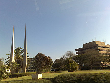 Kabwata, a residential area in Lusaka Image: andresmh Bookmark/share this page |
| To find a location type: street or place, city, optional: state, country. | Local Time Zambia:
Friday-April-19 05:13
Time Zone: South African Standard Time (SAST) GMT/UTC +2 hours |
One World - Nations Online .:. let's care for this planet Promote that every nation assumes responsibility for our world. Nations Online Project is made to improve cross-cultural understanding and global awareness. More signal - less NOISE |
| Site Map
| Information Sources | Disclaimer | Copyright © 1998-2023 :: nationsonline.org |

