Nations Online
All Countries in the World
Nations Online All Countries in the World | |
| Home |
___ Satellite View and Map of Chinatown, Bangkok ( Samphanthawong; in Thai: สัมพันธวงศ์ ) |
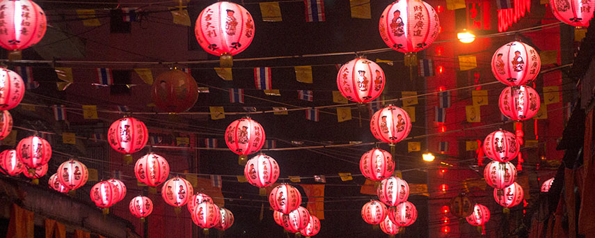 Chinese Lanterns during Chinese New Year, Chinatown, Bangkok. Image: nationsonline.org |
Searchable Map of Chinatown, Bangkok using Google Earth DataSatellite view is showing Samphanthawong district (Chinatown) in Bangkok, Thailand.It is Bangkok's smallest but its most densley populated district. Main streets are Yaowarat road (Yaowaraj) and Charoen Krung road, in south east there is Bangkok Railway Station Hua Lamphong. To find a location use the form below, you can type in Roman and Thai letters. |
||||||
| To find a location type: street or place, city, optional: state, country. |
Local Time Bangkok:
Friday-April-19 11:06
UTC/GMT +7 hours |
|||||
|
φ Latitude, λ Longitude (of Map center; move the map to see coordinates): , |
||||||
| Google Earth: Searchable map/satellite view showing Samphanthawong district better known as Chinatown, Bangkok 13°43′53″N 100°30′51″E φ Latitude, λ Longitude |
Bookmark/share this page |
|||||
| More about Thailand: Cities: Country: Thailand statistical key figures. Continent: |
Weather Conditions Bangkok:
External Links: Bangkok (official web site) Bangkok Post Local news. Wikipedia: Yaowarat Road Wikipedia entry Yaowarat Road, Bangkok Wikipedia: Samphanthawong District Wikipedia entry Samphanthawong District |
Related Consumer Information:
|
||||
Major Cities in South East Asia: Bandar Seri Begawan, Bandung, Hanoi, Ho Chi Minh City (Saigon), Jakarta, Johor Bahru, Kuala Lumpur, Manila, Medan, Phnom Penh, Singapore, Surabaya, Vientiane, Yangon Searchable Maps of other Countries in South East Asia: Brunei, Cambodia, Indonesia, Laos, Malaysia, Myanmar (Burma), Philippines, Singapore, Thailand, Vietnam |
||||||
Map Help [ show ]  |
||||||
One World - Nations Online .:. let's care for this planet Promote that every nation assumes responsibility for our world. Nations Online Project is made to improve cross-cultural understanding and global awareness. More signal - less NOISE |
| Site Map
| Information Sources | Disclaimer | Copyright © 1998-2023 :: nationsonline.org |

